Monographs

Below is a list of all our current in house publications, all of which are in print and can be purchased (see below for order forms).
For all our bibliographic references click here or to view in word (.doc) format click here.
All publications are available to purchase as paperback and/or PDF. For pricing see each individual publication.
To download the Monograph order form (word.doc) click here or pdf format click here
To download the Occasional Paper order form in (word.doc) click here or or pdf format click here
Bulk buy offers
Buy any 10 or more PDF volumes and get 20% discount on purchase.
Buy any 5 or more paperback volumes, get 20% discount on purchase (discount does not include postage and packaging).
If you are buying more than 10 paperback volumes, please enquire at [email protected]
Monographs
Monograph 1: Charnham Lane, Hungerford, Berkshire
The first volume in the series details the evidence of a long, if intermittent human exploitation of this floodplain landscape.
Although a few Upper Palaeolithic/Early Mesolithic flints were found, the earliest securely dated features were later Mesolithic fire pits, which contained charred plant remains, suggesting they were used for cooking. Other concentrations of late Mesolithic flintwork came from surface collection, both on the floodplain and on a gravel ‘island’ rising above it.
Early Bronze Age finds include three components: a pit circle, an adjacent occupation area, and detailed environmental evidence derived from a pollen sequence indicating, for example, that woodland clearance did not begin until the early Bronze Age.
There is then a lengthy gap in the use of the area until a small settlement was created in Saxon times. Most of the structures and deposits on the site, however, were medieval. A bi-focal settlement seems to be indicated, most probably neighbouring farms, created in the 11th-12th centuries and lasting until an abandonment probably in the 14th century. Although finds of this period were not abundant, environmental evidence allows a reconstruction of a mixed farming economy.
A4 soft cover, 87pp, illustrated throughout
ISBN 0-9544006-0-7
Paperback (+ PDF if requested) £15.00 (+postage and packaging)
PDF £15.00
Monograph 2: Prehistoric, Roman and Saxon Sites in Eastern Berkshire
Five excavations in eastern Berkshire are described in this report. At Horton, investigation of penannular cropmarks revealed a complex Neolithic monument with clearly structured deposition of numerous artefacts, overlain by a series of late Iron Age and Roman features. Work on a pipeline at Barkham Square turned up a late Bronze Age burnt mound, a rarity for southern England.Very ephemeral traces at Fairclough Farm, Bracknell turned out to be remains of a middle Iron Age settlement.
At Bath Road, Slough, late Iron Age and Roman field systems and other features were very reminiscent of the finds of these periods from Horton. Finally, multi-period occupation at Waylands Nursey, Wraysbury, ranged from the late Bronze Age through the Roman period and into the early Saxon. All of these sites, despite their differences, attest in their own way to the intensive exploitation of this small part of the Thames Valley, over a long period.
A4 soft cover, 158pp, illustrated throughout
ISBN 0-9544006-1-5
Paperback (+ PDF if requested) £15.00 (+postage and packaging)
PDF £15.00
Monograph 3: Excavations at Cippenham, Slough, Berkshire
Volume 3 explores a series of multi-period sites that cover an extensive landscape to the south of Slough, tracing development from the Neolithic to the Medieval period. A major housing development on the 'Cippenham Sector' at Slough provided opportunities for archaeological excavations on several sites. The remains uncovered span some 6000 years from the early Neolithic to the Post-medieval period and reveal the changing face of this Thames Valley landscape under almost constant human influence throughout this time.
Earlier Neolithic evidence seems to relate mainly to domestic occupation, although the patterns of deposition suggest a ritual component. Later Neolithic activity is less abundant and less easily characterized but may also include ritual aspects. This theme continues into the Bronze Age, with a ring ditch and numerous cremation burials, both in a cemetery and also spread across the landscape. There is some evidence for occupation in the Middle Bronze Age, but more substantial occupation remains appear in the Later Bronze Age.
From the Middle Iron Age until the middle Roman period, the area appears to have been more or less continuously farmed, with remarkable continuity through this span, when it is more usual to expect marked breaks in the rural landholding pattern. The landscape in this period was dominated by small individual farms. An apparent abandonment in the 3rd century AD led to a remodelling and a lessening of the intensity of all kinds of activity, eventually leading to a total lack of evidence from the 4th century into the Saxon period. By medieval times, occupation was concentrated in one small part of the area investigated. It is likely that by this time most of the land was included in Cippenham Deer Park.
A4 soft cover, 158pp, illustrated throughout including 5 colour and 5 black and white plates
ISBN 0-9544006-2-3
Paperback (+ PDF if requested) £15.00 (+postage and packaging)
PDF £15.00
Monograph 4: Bronze Age, Roman and Saxon sites on Shrubsoles Hill, Sheppey and at Wises Lane, Borden, Kent
Two excavations between 1999 and 2001 by TVAS shed light on the early development of the landscape on either side of the Swale in north Kent. On Shrubsloes Hill on the Isle of Sheppey, a Bronze Age landscape included a ring ditch (and presumably barrow), with associated cremation graves, a single linear ditch, and later a ditched enclosure and a flat cremation cemetery. The barrow was re-used when the site was occupied in the Saxon period.
At Borden, near Sittingbourne, three phases of development of an agricultural landscape can all be dated in the 1st century AD, when a droveway was flanked by changing patterns of field systems. This site also held a contemporary cremation cemetery. The site is of interest as it shows essential continuity of landholding and farming practice through the years either side of the Roman conquest.
A4 soft cover, 90pp, illustrated throughout including 8 colour plates
ISBN 0-9544006-3-1
Paperback (+ PDF if requested) £15.00 (+postage and packaging)
PDF £15.00
Monograph 5: The Archaeology of the Aylesbury-Chalgrove gas pipeline and the Orchard, Walton Road, Aylesbury
Investigations along the route of a new gas pipeline produced evidence of a variety of types of site spanning periods from the Bronze Age to the Saxon era. These included, in Buckinghamshire, an Iron Age site at Chilton Grove and a late Roman site at Peppershill Farm, and in Oxfordshire, a late Bronze Age site at Latchford, Iron Age and Saxon settlement at Rycote, and Iron Age and Roman sites at both Corrnwell Copse and Warpsgrove.
At Walton Road in Aylesbury in the Middle Bronze Age at least four roundhouses occupied the site. A middle Saxon settlement consisted of at least eight post-built hall houses, one building using a foundation trench construction, and one sunken featured building (or grubenhaus).
A4 soft cover, 90pp, illustrated throughout including 8 colour plates
ISBN 0-9544006-5-8
Paperback (+ PDF if requested) £15.00 (+postage and packaging)
PDF £15.00
Monograph 6: Iron Age and Roman settlement and landscape at Totterdown Lane, Horcott near Fairford, Gloucestershire
This part of the Upper Thames Valley is rapidly becoming one of the best-mapped areas of Roman Britain. Excavations at two quarry sites in Gloucestershire revealed a dynamic pattern of land-use and settlement extending from the middle Iron Age through the entire Roman period and into the early post-Roman era. In the middle Iron Age, the site was clearly a settlement area with two broadly contemporary clusters of round houses, metalworking activity and associated fields.
The Roman evidence consisted mainly of ditched land divisions spanning the entire four centuries, and although there was no direct evidence for any settlement, there must have been one nearby. The remarkable density of features in this landscape shows an almost obsessive emphasis on the redefinition of boundaries, which contrasts with other recent large scale investigations in the area where a much more open landscape has often been revealed.
A4 soft cover, 108pp, illustrated throughout including 9 colour plates
ISBN 0-9544006-4-X
Paperback (+ PDF if requested) £15.00 (+postage and packaging)
PDF £15.00
Monograph 7: Reading and Windsor: Old and New; Excavations 1995–2002
This volume presents the results of seven small excavations in the hearts of the modern towns of Reading, Old Windsor and New Windsor. Surprisingly little work has previously been published from these towns, other than the extensive work at Reading Abbey. We examine two sites on Friar Street in Reading and one on Castle Street, highlighting the medieval development of the town.In Windsor, evidence comes from three sites in the shadow of the great Norman Castle, one on High Street and two on Thames Street, exploring the changing medieval topography. From Old Windsor, we report on a post-medieval house at The Manor.
A final section explores the major finds (pottery and animal bone) and gives an overview of archaeological evidence for several centuries of town life by the Thames in Berkshire.
A4 soft cover, 211pp, illustrated throughout including 6 colour plates
ISBN 0-9544006-6-6
Paperback (+ PDF if requested) £15.00 (+postage and packaging)
PDF £15.00
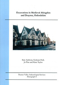
Monograph 8: Excavations in Medieval Abingdon and Drayton, Oxfordshire
Two excavations on Ock Street, on the western side of Abingdon in Oxfordshire reveal fascinating details of medieval and early post-medieval tanning, leather working and horn processing, which apparently began on the north side of the street (75 Ock Street) in the 13th or 14th century and moved to the south side (on the site of the later Morlands Brewery) by the late 14th or early 15th century. These noxiously anti-social activities would have been located on the fringes of the town or even slightly outside it, but it appears that the proprietors made a good living from the business, as both sites were able to afford a certain amount of luxury, including imported pottery, while their workers appear to have subsisted on a diet that was more liquid than solid, presumably mainly beer (appropriate on a site that was later a brewery).
Beyond Abingdon itself, this volume also examines a small area excavation at Abingdon Road in nearby Drayton, where a medieval field system of paddocks and droveways was successively altered from the 11th to the 14th century before being abandoned. This site provides a marked contrast to the sequence of continuous urban development seen in the town itself.
A4 soft cover, 121pp, illustrated throughout including 20 colour plates
ISBN 0-9544006-7-4
Paperback (+ PDF if requested) £15.00 (+postage and packaging)
PDF £15.00
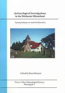
Monograph 9: Archaeological Investigations in the Silchester Hinterland
Silchester is one of the best-known and best-preserved Roman towns in Britain. A series of archaeological investigations conducted as part of the planning process has added to our knowledge of how the landscape around the site of the Roman town was used and developed.
None of the archaeological sites reported here is remarkable by itself, nor are there abundant finds, nor any spectacular individual find to record, but the steady accumulation of evidence from many such small sites can transform the way entire landscapes are perceived. This has been facilitated by the consistent application of planning guidance to ensure archaeological sites are recorded in advance of development, and planning policy is now a crucial tool in archaeological research.
The investigations reported in this volume include: two fieldwalking surveys, of the Loddon valley and the area immediately around Silchester itself; excavations including an Iron Age iron smelting site at Arborfield a Roman cremation cemetery and medieval building at Mortimer; a medieval oven also at Mortimer; late Iron Age to Roman enclosure at Little London Road, Silchester; results from a watching brief along a pipe-line around the southe of the study area, with important finds from Latchmere Green and elsewhere; and finally an evaluation which produced the first evidence for Late Bronze Age/Ealry Iron Age exploitation of the Silchester area.
These sites can be better appreciated in conjunction with work reported in TVAS Monograph 13, which takes us north to Reading; and Monograph 12, which explores an area towards Thatcham and Newbury. These volumes taken together provide a long-term view of a wide tract of landscape within a day's journey of the Roman town.
A4 soft cover, 164pp, illustrated throughout including 9 colour plates
ISBN 978-0-9544006-8-2
Paperback (+ PDF if requested) £15.00 (+postage and packaging)
PDF £15.00
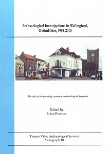
Monograph 10: Archaeological Investigations in Wallingford, Oxfordshire, 1992-2010
The role of the planning system in archaeological research Wallingford, on the River Thames in south Oxfordshire, is one of the country's best-preserved medieval towns, with origins as a late Saxon burh. It retains its medieval street plan to a remarkable degree, and substantial remains of the Saxon defences and Norman Castle survive.
Yet there is much still to learn about this historic town. Numerous small archaeological investigations initiated as a result of planning legislation are showing how even apparently disconnected pieces of work can add important evidence on the layout and development of the town. This volume in the TVAS Monograph Series brings together the results from almost two decades of investigation at more than a dozen small sites, none of which by itself is especially remarkable, but which produce new insights when combined. They also demonstrate how the requirements of the town planning process can effectively direct research, and amount to a local success story. These results should be viewed as complementary to the research-driven investigations of the academic and community-led Burh to Borough Project currently running in the town.
A4 soft cover, 121pp, illustrated throughout including 15 colour plates
ISBN 978-0-9544006-9-0
Paperback (+ PDF if requested) £15.00 (+postage and packaging)
PDF £15.00
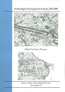
Monograph 11: Archaeological Investigations in Surrey, 1997-2009
This volume reports the results of archaeological investigations in advance of development at eight sites in Surrey; in Merstham, Burgh Heath and Staines, two in Egham and three in Guildford. At Battlebridge Lane in Merstham, we find a late Iron Age to early Roman settlement enclosure, along with some prehistoric and Saxon evidence. At Chapel Way, Burgh Heath, provides a probably Iron Age ring gully, along with Roman and medieval features. A very large area examined at Manor Park, Guildford, revealed evidence for intermittent occupation spanning the Bronze Age, Iron Age and Roman periods and medieval settlement near the moated manor house. Moor Lane Staines offers Saxon and medieval occupation.
Samples of Saxon pottery have been thin-sectioned and chemically analysed, and radiocarbon dated as a baseline for future work. Two sites on the High Street in Egham produced limited evidence for prehistoric activity but more significant medieval remains including a pottery kiln. Similarly, two sites on the High Street in Guildford yielded 12th and 13th-century occupation evidence, in both cases followed by a blank period before 17th century re-occupation, with interesting insights into the diet of that period.
A4 soft cover, 212pp, illustrated throughout including 21 colour plates
ISBN 978-0-9561974-0-5
Paperback (+ PDF if requested) £15.00 (+postage and packaging)
PDF £15.00
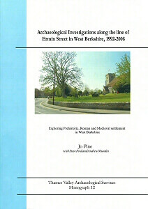
Monograph 12: Archaeological Investigations along the line of Ermin Street in West Berkshire, 1992-2008
Thatcham has seen sporadic, small-scale archaeological investigations since the early years of the 20th century. Recent work, reported in this volume, has added significantly to our understanding of the early development of settlement here. This monograph presents the results of small excavations at Turnpike School, at several locations on Bath Road, and at Church Gate, and summarises results of smaller watching briefs and evaluation trenching exercises.
Among the prehistoric finds at the former Turnpike School, Newbury, there is rare evidence for late Neolithic occupation, including the skull of an aurochs, the huge ancestor of modern cattle. A late Bronze Age burnt mound shows occupation in that period too. On Bath Road, several minor investigations have confirmed the presence (in places) of the Roman road from Silchester to Cirencester, and showed occupation from the 2nd century AD to the 4th, stretching along the road for at least a kilometre. Similar evidence is also explored on the far side of Newbury, at Wickham House.
Early to Middle Saxon pottery has also been recovered, although this provides only ambiguous evidence for occupation at this time. Finally, the site at Church Gate shows medieval evidence of land boundary ditches from the 12th and 13th centuries.
A4 soft cover, 77pp, illustrated throughout including 11 colour plates
ISBN 978-0-9561974-0-54
Paperback (+ PDF if requested) £15.00 (+postage and packaging)
PDF £15.00

Monograph 13: Archaeological Investigations to the south of Reading, 2002-2008
A series of archaeological investigations conducted as part of the planning process has added to our knowledge of Roman settlement and landscape exploitation in an area south of modern Reading, Berkshire. None of the archaeological sites reported here are remarkable in themselves, nor are there abundant finds, nor any spectacular individual objects to record, but the steady accumulation of evidence from many such small sites can transform the way such areas are perceived. These sites, in particular, which all lie less than a day's journey from Silchester, provide a valuable contribution to an understanding of the nature and development of the hinterland of the Iron Age and Roman town.
The five sites reported in this volume include: a Roman occupation site and landscape management at Three Mile Cross; a very similar late Iron Age/early Roman settlement and landscape in south Reading, and at two smaller sites in Shinfield; while a final short paper reports on a Bronze Age pit and Iron Age 'currency bar' hoard from south Reading.
A4 soft cover, 61pp, illustrated throughout including 10 colour plates
ISBN 978-0-9561974-1-2
Paperback (+ PDF if requested) £15.00 (+postage and packaging)
PDF £15.00

Monograph 14: Settlement and Landscape Archaeology in the Middle Thames Valley: Slough and Environs
This volume presents the results of archaeological excavations on five sites in and around Slough, all undertaken under the provisions of town planning legislation. On two sites to the west of Slough at Cippenham, evidence was uncovered of sporadic land use from the Neolithic period onwards, which complements the results of earlier work in this area (see TVAS Monograph 3). Medieval occupation in this area seems to have been abandoned unusually early (in the 12th or early 13th century) perhaps as a result of emparkment for a known 13th-century deer park.
North-east of Slough, sites at Wexham (one in Berkshire, the other just across the county border in Buckinghamshire), again provide evidence for multiple periods of use, including Iron Age and Saxon settlement at Wexham Road, and Bronze Age and most notably extensive Roman settlement at All Souls Farm quarry. Finally, also in Buckinghamshire, Bronze Age settlement was revealed at Beaconsfield, by one of the first large area excavations in this part of the county. The results from all of the sites are backed by a programme of radiocarbon dating.
A4 soft cover, 203pp, illustrated throughout including 28 colour plates
ISBN 978-0-9561974-3-6
Paperback (+ PDF if requested) £15.00 (+postage and packaging)
PDF £15.00
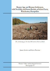
Monograph 15: Bronze Age and Roman settlement, with Neolithic and Saxon burials, at Itchen Farm, Winchester, Hampshire
Excavations just south of Winchester uncovered evidence for a long sequence of use of the site. A number of pits and a single child's burial are radiocarbon dated to the early Neolithic period. The child burial is one of a very small number of such burials known from that era. During the Bronze Age, a post-built roundhouse occupied the site.
The main focus of the evidence derives from a series of ditched enclosures defined, re-modelled, and re-defined between the late Iron Age and late Roman periods. This sequence seems unlikely to have started much before the Claudian conquest, and the site was abandoned by around the middle of the 4th century, the latest features probably representing deliberate dismantling and clearance of the occupation. There are neither structural remains nor, until the end of the period, pits for storage or refuse, but finds are present in such quantity in the ditches that the site must have been occupied at least in the early and late phases; there is a marked decrease in finds in the middle of the Roman period. This site produced important evidence for the economy of the Roman settlement, which included textile production. A single grave seems to be the latest Roman feature on the site.
Finally, two graves contained Roman finds but are firmly dated by radiocarbon to early Saxon times, probably contemporary within the early 7th century. No other Saxon material was recovered from anywhere on the site and it is unlikely that there is any possibility of continuity over the centuries between the last Roman use and these interments.
A4 soft cover, 76pp, illustrated throughout including 13 colour plates
ISBN 978-0-9561974-4-3
Paperback (+ PDF if requested) £15.00 (+postage and packaging)
PDF £15.00
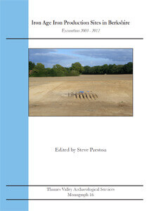
Monograph 16: Iron Age Iron Production Sites in Berkshire
The archaeological record for the Iron Age has been surprisingly short on iron - use of objects made of iron is rather limited, and there are remarkably few known production sites. Recent excavations in Berkshire, backed by a programme of radiocarbon dating, have begun to change that. At Sindlesham, a buried dump of slag consisted of what seems to be the largest quantity of Iron Age iron slag so far recorded in the country, associated with a series of simple pit furnaces for smelting, charcoal clamps and ore roasting pits, and provided a series of radiocarbon dates spanning the early and middle Iron Age, with evidence of unexpected re-use of the site in the Saxon period.
At Three Mile Cross, near Reading, iron production covering a similar date range was on a much smaller scale; coincidentally also with Saxon re-use. A third small site at Finchampstead also produced a single middle Iron Age furnace used for iron smelting. Analysis of the slags reveals that the raw material source was probably bog ore, low grade ore but widely available, so that the locations of production sites seem to have been more dependent on a fuel source (wood for charcoal) than on the ores themselves.
A4 soft cover, 118pp, illustrated throughout including 27 colour plates
ISBN 978-0-9561974-6-7
Paperback (+ PDF if requested) £15.00 (+postage and packaging)
PDF £15.00
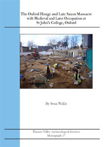
Monograph 17: The Oxford Henge and Late Saxon Massacre; with Medieval and Later Occupation at St John's College, Oxford
Excavations at St John’s College in the heart of Oxford have dramatically altered our view of the prehistoric landscape, provided striking evidence of a massacre dating to around AD 1000, and shed light on the later occupation of the site: a suburb in the medieval period and later a farm.
The earliest feature was a massive ditch interpreted as part of a henge. Its diameter of just over 150m places it in the monumental class, of which only around 20 are known in Britain. These large henges are often the focus of a wider ritual landscape. The chronology of the henge can be traced from its construction at the end of the late Neolithic, up to the time when it disappeared as a major feature in the landscape in early medieval times.
Of particular significance is the discovery of at least 35 human skeletons, tumbled together into the depression left by the henge ditch. All were adult males, except two adolescents, all had met a violent death, many having been mutilated besides, and some partially burned. The evidence points towards these men being Danish victims of King Aethelred’s decree ordering their extermination in AD1002.
A4 soft cover, 295pp, illustrated throughout including 170 colour plates
ISBN 978-0-9561974-5-0
Paperback (+ PDF if requested) £25.00 (+postage and packaging)
PDF £25.00

Monograph 18: Neolithic, Roman and Saxon Settlement at Arlington Way, Thetford, Norfolk
This volume presents the results of archaeological excavations at Arlington Way, Thetford, which revealed a complex landscape, used and occupied over a considerable time during the Roman and Saxon periods. The findings provide an extension of the wider topography of the Roman and Saxon settlement previously revealed to the south at Melford Meadows where they occupied a terrace ridge above the flood plain of the river Thet.
The Roman element of the site comprised both post-built and beam-slot structures together with ditched divisions of the landscape. This is considered to be a low status farmstead which was occupied from the late 1st century until the end of the 4th century. The early Saxon occupation began in the 5th century and appears to have continued until the late 6th or 7th century. The main focus of the occupation at this time appears to have been to the south of the Roman site at Melford Meadows, and only a low density of features of this period was recorded at the Arlington Way site.
A4 soft cover, 59pp, illustrated throughout including 8 colour plates
ISBN 978-0-9926330-1-1
Paperback (+ PDF if requested) £15.00 (+postage and packaging)
PDF £15.00
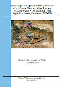
Monograph 19: Bronze Age, Iron Age and Roman Landscapes of the Coastal Plain, and a Late Iron Age Warrior Burial at North Bersted, West Sussex
This volume details the open area excavation that took place across nine separate areas at North Bersted. The fieldwork revealed artefacts and features spanning the Upper Palaeolithic through to the Defence of Britain in the mid-1940s, although the principal periods represented were of later Bronze Age, Iron Age and Roman date. A smaller volume of Neolithic and medieval deposits were encountered.
The earlier periods were represented by discrete occupation zones - isolated pits, roundhouses, burnt mounds, isolated burials and some enclosure but with little evidence for the development of an enclosed landscape of field systems. This changed with the onset of the Middle Iron Age and continuing into the Roman period when most of the excavated areas (and beyond) had been enclosed with a complex of field boundaries and enclosures with further development through time.
Study of the settlement of this area was enhanced by a radiocarbon-dated palynological analysis of peat and alluvium deposits that infilled the valley of a small stream. Perhaps the most notable finding of the excavation was the grave of a late Iron Age warrior prince or priest who may have been raised in southern Europe, may have fought with the Roman army, and was buried with sword, scabbard, spear, shield, other grave goods including most remarkably, elaborate ceremonial headwear.
A4 soft cover, 211pp, illustrated throughout including 26 colour plates
ISBN 978-0-9926330-2-8
Paperback (+ PDF if requested) £25.00 (+postage and packaging)
PDF £25.00
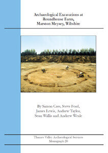
Monograph 20: Archaeological Excavations at Roundhouse Farm, Marston Meysey, Wiltshire
This report documents a large area excavation covering some 25ha of gravel terrace in the Upper Thames Valley of north Wiltshire. The excavations have revealed a wide range of evidence for human activity with occupation sites, funerary sites, ceremonial sites and organised landscapes dating from the later Neolithic through to mid Roman times and again from the medieval period to the present.
Deposits of earlier prehistoric periods are not prolific but are represented by isolated pits, and burial but including a post-circle ceremonial monument. The later Bronze Age is better represented, with extensive areas of unenclosed settlement with post-built roundhouses and other structures present. The archaeological record intensified and diversified with the onset of the Iron Age, with several foci of occupation accompanied by small and large enclosures. The intensity and nature of landuse regressed after the middle Iron Age, due in part, perhaps, to the impact of a rising water table. The land was still demonstrably used with the reuse of several Iron Age boundaries and the creation of new fields and boundaries in Latest Iron Age/early Roman times but now without the presence of occupation areas.
Maintenance or use of the landscape appears to have ceased before the end of the Roman period though there is some evidence to suggest some originally Iron Age boundaries continued to exist to be incorporated into a small medieval agricultural enclosure. Subsequent use of the site after the medieval period was for large rectilinear enclosed fields, subject to change, with only a proportion of the boundaries recorded on early maps. The field patterns were extensively disrupted with construction of the Thames and Severn Canal in 1787.
A4 soft cover, 125pp, illustrated throughout including 40 colour plates
ISBN 978-0-9926330-3-5
Paperback (+ PDF if requested) £20.00 (+postage and packaging)
PDF £20.00
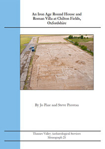
Monograph 21: An Iron Age Round House and Roman Villa at Chilton Fields, Oxfordshire
This report documents an area excavation covering some 2ha which was undertaken on the lower chalk plain north of the Berkshire Downs, now in south Oxfordshire. The excavations have revealed the full ground plan of a modest Roman villa along with a significant proportion of surrounding landscape features. Use of the site for a villa complex was preceded by a small amount of Bronze Age pit digging followed by a Middle Iron Age round house dating from 382–204 Cal BC, coincidentally located beneath the later villa. Four burials are also attributed to this Iron Age phase of use. After a clear break in the sequence of occupation, a stone-footed building was constructed in the later 2nd century AD and was subsequently modified and extended including construction of a veranda, into the 4th century AD. Ancillary structures include a well, a bathhouse, corn driers, and various other post-built structures as well as paddocks and enclosures beyond.
The building had gone out of use by the end of the 4th century AD but occupation may have continued with little or no break into Saxon times. No artefacts certainly of early Saxon date were recovered but two structures were typical of sunken floored buildings and pottery recovered from them included the latest 4th century types. The site was abandoned and forgotten from early in the Saxon period, presumably reverting back to agricultural use. The final activity on the site took place in the early post-medieval period with the digging of a small number of pits and the construction of a metalled trackway.
A4 soft cover, 104pp, illustrated throughout including 31 colour plates
ISBN 978-0-9926330-7-3
Paperback (+ PDF if requested) £20.00 (+postage and packaging)
PDF £20.00
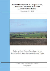
Monograph 22: Roman Occupation at Chapel Farm, Blunsden, Swindon, Wiltshire (Lower Widhill Farm)
Archaeological excavations just north of Swindon in Wiltshire over several years uncovered an almost continuous landscape of around 7ha, occupied mainly in the 1st to 3rd centuries AD. The results of work by both Oxford Archaeology and Thames Valley Archaeological Services are presented in this volume. The earliest features were scattered pits of possible Bronze Age date but occupation begins in the late Iron Age (early 1st century AD), then shifts north-east and intensifies in the late 1st century AD and into the 2nd. Occupation centred on a large empty enclosed space, around which smaller enclosures were arranged, some of which may have been stock pens, while others were occupied, with relatively minor modifications over time. Finds described include substantial groups of pottery and metalwork, but only smaller assemblages of other materials.
The entire enclosure complex seems to have fallen out of use in the 4th century and maybe before, with late Roman finds very scarce, reinforcing the view that few Roman rural sites endured throughout the period. What is interpreted as Saxon occupation is represented by a group of three post-built houses, and a sunken-featured building, but although Saxon pottery was recovered from several features, dating evidence for the buildings themselves was scant and they are phased largely on the basis of form.
A4 soft cover, 139pp, illustrated throughout including 24 colour plates
ISBN 978-0-9926330-9-7
Paperback (+ PDF if requested) £15.00 (+postage and packaging)
PDF £15.00
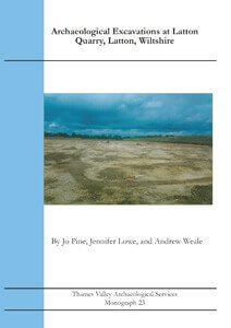
Monograph 23: Archaeological excavations at Latton Quarry, Wiltshire
This report documents the archaeological examination of a large (18ha) parcel of land which was formerly a Scheduled Monument, and lies adjacent to a large cropmark enclosure complex. The fieldwork investigated a wide range of deposits, with early Neolithic, middle Bronze Age, early and middle Iron Age and early Anglo-Saxon occupation being revealed, along with Iron Age, Roman and Medieval land division. The early Neolithic is represented by just two pits. The middle Bronze Age is represented by an enclosure, which is infrequently recorded for this period in this region. The early Iron Age occupation consists of dispersed settlement including groups of post-built roundhouses. The middle Iron Age is represented by a single ring gully roundhouse, a typical form for the region, which may be on the edge of a larger settlement to the south.
Occupation then ceased and the site appears to have been used only as farmland, with just a few middle to late Roman boundary ditches, producing very little pottery. This continued until early Anglo-Saxon occupation in the form of a post-built hall, with a second activity focus represented by an unusual dispersed group of pits. The Anglo-Saxon occupation is notable in that it dates from a time and place at the limits of Anglo-Saxon expansion along the Upper Thames Valley in what was still a frontier zone.
A4 soft cover, 158pp, illustrated throughout including 13 colour plates
ISBN 978-1-911228-01-1
Paperback (+ PDF if requested) £17.00 (+postage and packaging)
PDF £17.00

Monograph 24: Bronze Age, Saxon and Medieval Evidence from Wantage, Oxfordshire: Excavations at St Mary’s and St Gabriel’s Schools
Archaeological excavations close to the modern town centre of Wantage revealed a dense complex of mostly medieval features on two large parcels of land, thought to lie within the town as it was in late medieval times. The continuous occupation sequence, however, commenced in the late Saxon period with the construction of a circular or oval enclosure, various small enclosures, pens, buildings, workshops and other features and a substantial boundary ditch to the south. Finds include pottery suggesting a high status centre, supporting the view of Wantage as a Saxon royal estate. Medieval activity expanded in the 11th century with further redefinition and reorganisation which continued until the 13th or 14th century when all this activity ceased. Subsequent use of the sites was light, expect for re-cutting of the boundary ditch well into the 16th century.
The earliest finds and features were of prehistoric date with a few struck flints of Mesolithic and later date, but notably an urned cremation cemetery of Middle Bronze Age date with one urned burial radiocarbon dated to 1403-1268 BC. Early and Middle Saxon finds and deposits were few but included an inhumation burial dated to AD 775-887. Yet the range of pottery included high status vessels and whilst the focus of a contemporary settlement has not yet been revealed it is possible that the villa regia documented by AD849 lies close by. Finally, the area was orchard and fields in the 18th and 19th centuries
A4 soft cover, 49pp, illustrated throughout including 10 colour plates
ISBN 978-1-911228-00-4
Paperback (+ PDF if requested) £15.00 (+postage and packaging)
PDF £15.00
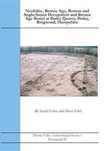
Monograph 25: Neolithic, Bronze Age, Roman and Anglo-Saxon Occupation and Bronze Age Burial at Ibsley Quarry, Ibsley, Ringwood, Hampshire
Excavation in advance of mineral extraction located on the eastern terrace of the river Avon at Ibsley, north of Ringwood, revealed a wide range of sites and finds. Two episodes dominated the cut deposits examined namely those in the Bronze Age and Roman periods. The site appears to have been in use for the whole of the Bronze Age, with the earlier Bronze Age represented by four ring ditches (the remains of levelled barrows) and a few pits. One of the ring ditches was revisited for use in the middle Bronze Age as an urnfield (cremation cemetery). A probable middle Bronze Age roundhouse and a few pits were superseded by much more intensive later Bronze Age occupation in the form of roundhouses, four-post structures (granaries?), pits and a fence. A notable feature of the middle Bronze Age was the finding of a small hoard of two bronze palstaves and an armlet.
Little is known of what might have happened on the site in the Iron Age, although it was perhaps then that the barrows were levelled (ploughed out). In the Roman period, the site became a farmstead surrounded by an organized landscape of paddocks and fields, with a stone-lined well, although any buildings seem to have been outside the area excavated.
Other periods were represented by small numbers of cut features, with earlier Neolithic pits containing plain ware and Ebbsfleet ware pottery, a possible late Neolithic pit circle, and an early Anglo-Saxon sunken-floored building. The Mesolithic period was represented by flintwork and the later medieval period, surprisingly, only by a hammered silver coin and a belt buckle. The fieldwork here complements the findings of earlier phases of investigation at the quarry to the east which led to the excavation of three Early Bronze Age ring ditches in 2001.
A4 soft cover, 87pp, illustrated throughout including 17 colour plates
ISBN 978-1-911228-03-25
Paperback (+ PDF if requested) £17.00 (+postage and packaging)
PDF £17.00

Monograph 26: Two Iron Age Occupation Sites on Andover Road and Cromwell Road in Winchester
This volume reports on two archaeological excavations in Winchester, one well to the north, and the other well to the south, of both the Roman town and the known Iron Age enclosure at Oram’s Arbour. Hampshire’s Iron Age provides a mixture of enclosed and unenclosed settlements, and enclosures which apparently bound no settlement.
At Andover Road, occupation began in the later part of the Middle Iron Age, and continued into the Late Iron Age and very early Roman period. Nothing here need be later than the 1st century AD. The site is dominated by a large enclosure ditch, recut several times, and smaller enclosures laid out from it. Within and around these enclosures are numerous pits, while post built structures must also be present but have proved elusive to trace. It had been expected that the site would reveal the continuation of an Iron Age settlement located in excavations to the north, and so it proved. One particularly striking aspect of the site lies in the patterns of deposition of human and articulated animal bone. Radiocarbon dating supports the site’s chronology, which is based on a secure stratified sequence.
At Cromwell Road, multi-period occupation was represented by several hundred pits and a ring gully, likely a roundhouse. Pottery and two radiocarbon dates helped to phase the occupation which dates mainly to the Iron Age. The full extent of the site was not determined and it is not known if it was open or enclosed, or indeed part of a larger settlement. The large number of pits recorded relative to just a single dwelling, suggests that Cromwell Road may represent part of a larger and longer-lived settlement, yet to be discovered.
A4 soft cover, 121pp, illustrated throughout including 13 colour plates
ISBN 978-1-911228-08-0
Paperback (+ PDF if requested) £15.00 (+postage and packaging)
PDF £15.00
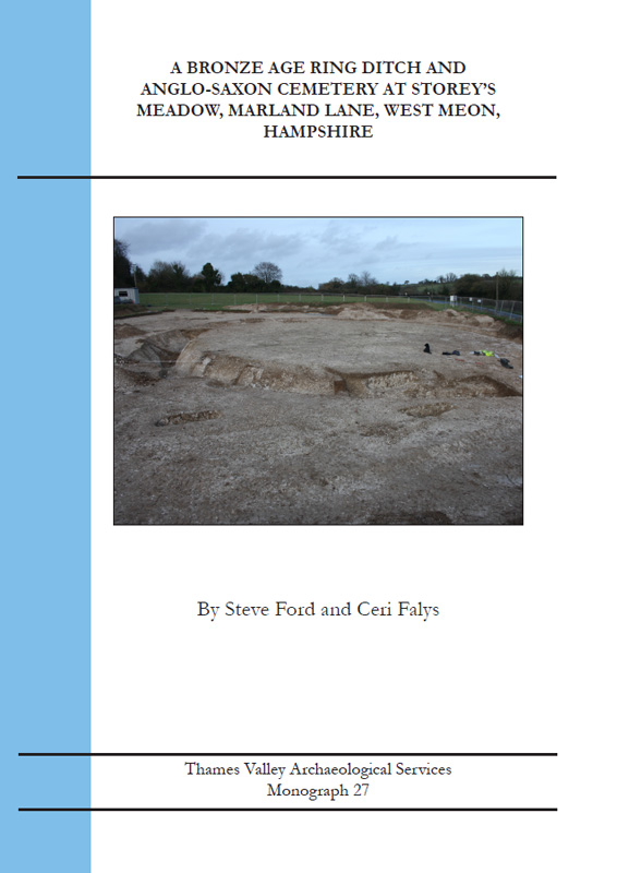
Monograph 27: A Bronze Age Ring Ditch and Anglo-Saxon Cemetery at Story's Meadow, Marland Land, West Meon, Hampshire
A levelled Bronze Age round barrow was fully excavated to reveal its use as a cemetery in both the Bronze Age and Anglo-Saxon periods. A central cremation burial of an unsexed adult placed in a Collared Urn was dated to 1911–1739 cal BC and is likely to date the first construction of the monument, with an inhumation burial of a young child dated to 1541–1402 cal BC placed just above the primary fills of the ring ditch providing a terminus ante quem date. Flint nodules recovered during the ditch digging were used as a source of struck flint.
Later prehistoric and Roman ploughing close to the barrow led to the infill of the upper fills of the ditch but the mound must have survived for it subsequently to be selected as the focus for a large Anglo-Saxon cemetery, with at least 49 inhumation burials (roughly equal numbers of adults and non-adults, the adults also roughly evenly split between women and men) and a single Anglo-Saxon urned cremation burial of an unsexed adult also present. Nine radiocarbon dates indicate a predominantly 6th–7th century AD date. The cemetery’s limits to south and west seem to have been defined but it may have extended further north or east; any eastwards extension will have been lost to the modern road but there is every chance that more burials could survive to the north.
A unexpected concentration of unusual skeletal pathologies was observed, including three burials of individuals who had survived trepanning, including one adolescent with leukemia; and a woman who died whilst pregnant. This may tentatively indicate that an Anglo-Saxon medical ‘specialist’ operated in the local area. Stable isotope studies indicate a non-marine diet for the population
A4 soft cover, 128pp, illustrated throughout including 32 colour plates
ISBN 978-1-911228-13-4
Paperback (+ PDF if requested) £15.00 (+postage and packaging)
PDF £15.00
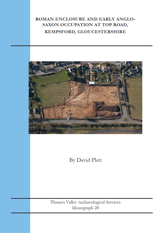
Monograph 28: Roman Enclosure and Early Anglo-Saxon Occupation at Top Road, Kempsford, Gloucestershire
This volume describes the results of an archaeological excavation carried out in advance of development at Kempsford on the north bank of the River Thames in Gloucestershire. Cropmarks visible in aerial photographs, and a geophysical survey, suggested the site contained Iron Age or Roman enclosures and occupation, and evaluation trenching confirmed that these were indeed present, along with some Anglo-Saxon pottery.
The excavation revealed the expected enclosed settlement, repeatedly remodelled from the Late Iron Age into later Roman times. Burials were also present, mainly from the later Roman period. The later end of the radiocarbon dating ranges could allow two of the burials to be 5th-century Anglo-Saxon rather than late Roman.
Anglo-Saxon occupation with at least six sunken-floored buildings and a post-built hall, was more unexpected. Faunal and botanical remains allowed the agricultural economy of the site to be examined and isotope analysis of the burials indicated a typical terrestrial diet albeit distinctive compared to other Roman sites. A programme of radiocarbon dating on food residues taken from Anglo-Saxon pottery revealed that the settlement was of two phases spanning the early 5th and 6th centuries but with the possibility that occupation had commenced in the late 4th century or very early 5th. This is noteworthy for a site so far up river from the Thames Estuary as it suggests this process may have been underway before the traditional end of the Roman period in AD410.
A4 soft cover, 138pp, illustrated throughout including 26 colour plates
ISBN 978-1-911228-21-9
Paperback (+ PDF if requested) £15.00 (+postage and packaging)
PDF £15.00

Monograph 29: The Southern Cemetery of Roman Dorchester-on-Thames; With Evidence for Roman and Medieval Settlement
Archaeological excavations and watching briefs in the historic town of Dorchester-on-Thames in Oxfordshire have brought to light substantial new evidence for a cemetery just beyond the southern limit of the Roman town. So far, over 60 burials have been recorded and there may be at least as many more still to discover. Where datable, all appear to be late Roman. The area of the cemetery had been in domestic use in the earlier Roman period (1st to 2nd centuries AD) before the change of use to a burial ground, probably beginning in the 4th century, but possibly earlier, as two phases are represented stratigraphically. There was later, an early Saxon building on the site. Detailed osteological analysis sheds fascinating light on the lifestyle (and ailments) of Dorchester’s Roman inhabitants and suggests close genetic links amongst at least a portion of the buried population, while stable isotope analysis, on the other hand, suggests two markedly different dietary regimes.
On the High Street, just outside the northern line of Roman defences, further evidence of early Roman occupation was recovered, again replaced in the later period by burials (although only five on this site), and in this case, the area was later used for medieval occupation (backlands). This excavation sheds light on the topography of the Roman and medieval town, particularly the extra-mural Roman occupation, and hints at intensive medieval activity behind houses fronting High Street. Although the earliest phase on the site has mostly been lost to later truncation, it appears to pre-date the Roman defences (c. AD260) implying that part of the settlement, and possibly quite a densely settled area, was excluded from this protection.
A4 soft cover, 155pp, illustrated throughout including 26 colour plates
ISBN 978-1-911228-24-0
Paperback (+ PDF if requested) £15.00 (+postage and packaging)
PDF £15.00

Monograph 30: Archaeological investigations At Nea Farm, Somerley, Ringwood, hampshire, 1993-2011
A long-running series of archaeological excavations spanning nearly two decades has been carried out in advance of mineral extraction on a 65ha quarry site at Nea Farm, Somerley on the plateau fringing the Avon Valley near Ringwood, Hampshire. Trial trenching and fieldwalking covered most of this area, and eventually almost 26ha were opened for excavation. For such a large area, it was perhaps inevitable that a wide range of sites and finds would be recorded. The important Upper Palaeolithic site has already been published separately, this volume takes up tracing the development of the site in later prehistoric periods when a Mesolithic flint scatter, and small numbers of pits of Earlier Neolithic and Bronze Age date make up the earliest evidence.
Subsequently, a middle Iron Age settlement was located on the plateau edge overlooking the valley. This prospered and continued in use into early Roman times, with farming of the plateau to the rear organized within a series of formal boundaries. After a short period of abandonment the same location was reused up to the end of Roman times. There was no evidence for sub-Roman or Saxon use of the explored areas.
A manor of Somerley was first documented in AD1272, but the fieldwork here explored a part of the manorial complex dating from the 11th century, including four timber buildings.
The volume presents reports on fairly substantial assemblages of pottery, worked flint and fired clay (including kiln/furnace structures), and smaller quantities of other finds and environmental evidence, along with the results of a programme of radiocarbon dating.
A4 soft cover, 140pp, illustrated throughout including 13 colour plates
ISBN 978-1-911228-29-5
Paperback (+ PDF if requested) £15.00 (+postage and packaging)
PDF £15.00
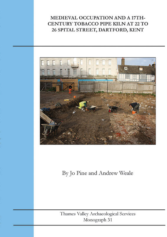
Monograph 31: Medieval Occupation and a 17th-Century Tobacco Pipe Kiln at 22 to 26 Spital Street, Dartford, Kent
Excavation in advance of commercial development in the heart of Dartford provided evidence for several periods of the site’s development. The earliest evidence was Roman: a ditch and a pit, together with residual pottery and coins in later features. The post-Roman occupation begins from the 13th century leading to unbroken use of the site through to the present. The 13th-century use comprised dark earth deposits and three cut features. It was from the mid/late 13th century to late 14th century that occupation began in earnest with the construction of two masonry buildings, one substantial and the other smaller. Both survived as chalk and flint foundations together with chalk and beaten-earth floors. Two stacked-tile hearths in the southern part of the site suggest the presence of another structure. The buildings continued in use into the early-mid 15th century, with internal alterations.
In the mid-late 15th century another building of chalk and flint was constructed close to the frontage of Spital Street, which housed ovens and hearths. In the late 15th or 16th century this building was superseded by another stone-built (or stone-footed) building.
In the 17th century, the nature of the site changed, and a clay pipe kiln was housed in another stone building, providing evidence for the earliest such manufactory from the town.
A4 soft cover, 94pp, illustrated throughout including 15 colour plates
ISBN 978-1-911228-25-7
Paperback (+ PDF if requested) £15.00 (+postage and packaging)
PDF £15.00

Monograph 32: Bronze Age, Roman and Saxon Burials and Occupation on Land to the West of The Lea, Denham, Buckinghamshire
A long-running programme of archaeological excavation in advance of quarrying has examined an area of some 11 hectares at The Lea. It has revealed prehistoric (likely early or middle Bronze Age) ring ditches (ploughed out barrows) which remained focal points in the landscape into Roman and indeed Saxon times, when a mixed-rite cemetery was laid out around them.
A field system of middle Bronze Age date was marked by ditches and gullies which formed a rectilinear arrangement of small fields and/or paddocks. It is likely this was also still in use in the later prehistoric period when a roundhouse was constructed.
There was then a long hiatus until the site was re-occupied in the Roman period. Early Roman activity included a field system, with the middle Roman sub-phase represented by enclosures and another field system. Late Roman features include enclosures and boundary ditches. One of the enclosures contained a well, an oven and corn-driers.
The main focus of the report is on the cemetery which contained pyre sites, inhumations and rare bustum cremation burials. This combination is highly unusual. This cemetery continued in use into the early Saxon period. Another burial, set well apart from the cemetery, in an unusually large grave, was richly furnished with jewellery.
Medieval and post-medieval activity included field ditches and a post-medieval trackway. The site produced substantial assemblages of prehistoric and Roman pottery, and Roman brick and tile and metalwork, but unfortunately bone survival was very poor. The chronology is supported by eight radiocarbon dates.
A4 soft cover, 145pp, illustrated throughout including 28 colour plates
ISBN 978-1-911228-30-1
Paperback (+ PDF if requested) £15.00 (+postage and packaging)
PDF £15.00

Monograph 33: Late Iron Age, Roman and Saxon Occupation at Courtwick Lane, Littlehampton, West Sussex
Archaeological fieldwork running over several episodes of development including evaluation, three phases of excavation and an extended watching brief, revealed a broadly agricultural landscape of late Iron Age to Roman (3rd century) date, comprising large enclosures and droveways. A large, possibly defensive, ditch of Iron Age date suggested a substantial settlement within the vicinity, though structures of this date were not encountered. Eighteen Roman cremation burials of 1st-3rd century date were recovered from the enclosed areas (11 urned, 2 unurned and five token or redeposited human bone). Several Saxon sunken-featured buildings and a possible timber post structure indicate a small Early Saxon settlement on the site. Over 800 struck flints suggest limited activity in the Mesolithic and Neolithic periods (a single pit was the only Neolithic feature), while small numbers of pits represent limited Bronze Age and Middle Iron Age activity. The volume presents reports on substantial pottery assemblages, and smaller quantities of other finds. The chronology is supported by a programme of radiocarbon dating.
A4 soft cover, 170pp, illustrated throughout including 19 colour plates
ISBN 978-1-911228-34-9
Paperback (+ PDF if requested) £17.00 (+postage and packaging)
PDF £17.00

Monograph 34: Bronze Age, Iron Age and Roman Occupation at Northbrook College, Littlehampton Road, West Durrington, West Sussex
This volume details the results of an excavation covering 4ha on a site to the north of the Goring Roman villa complex, which had been rescue excavated in the 1980s. A few late Middle Bronze features present tentative evidence for occupation along with ephemeral traces of a possible field system. The Later Bronze Age to Early Iron Age is represented by post-built roundhouses and possibly ring-gully structures, extensive spreads of pits and postholes comprising unenclosed and seemingly unstructured settlement. This was succeeded in the Middle Iron Age by distinctive ring-gully structures. Four radiocarbon dates define the chronological extent of this phase. Economic data show a typical range of domesticated animals and cereal production, though few facilities for large-scale storage of grain. Late Iron Age use maintained the pattern of the Middle Iron Age settlement, with further ring gullies, a stock enclosure and a long curving boundary ditch. Again the Iron Age pattern of settlement seemed to influence Roman use of the site with little evidence for disruption. Roman occupation, of modest status typical of rural settlement, included a large stock enclosure and a series of paddocks while respecting the Iron Age boundary. The pattern of economic production is again unexceptional. Roman occupation continued into the 3rd century after which it may have transmuted into the Goring villa complex. The settlement, including the villa complex, appears to have gone out of use at the end of the 3rd century AD. Finally, excavation at Lower Northrook Farm explored the remains of Northbrook Mansion and traced its development sequence: summary results of this are also presented.
A4 soft cover, 214pp, illustrated throughout including 19 colour plates
ISBN 978-1-911228-35-6
Paperback (+ PDF if requested) £17.00 (+postage and packaging)
PDF £17.00
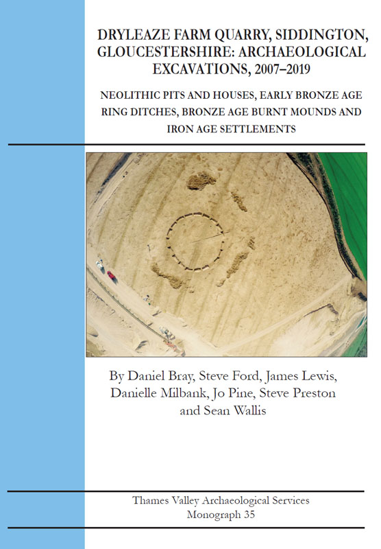
Monograph 35: Dryleaze Farm Quarry, Siddington, Gloucestershire: Archaeological Excavations, 2007-2019
This monograph presents results of long-running archaeological investigations in advance of mineral extraction, covering almost 50ha, which have revealed the use of this landscape in every period from the Neolithic to the present, demonstrating very different intensities both by period and by area. The results are supported by an extensive series of radiocarbon dates, some of which challenge or extend accepted chronologies.
The Neolithic evidence consists of both earlier and later Neolithic pits. Of particular note was the discovery of a post-built rectangular building with probable Grooved Ware associations. In the early Bronze Age a barrow cemetery was represented by at least three ring ditches with two associated burials. Another, unrelated early Bronze Age ring ditch was recorded together with what are interpreted as cenotaph burials. An urn pit containing two urns and an inhumation burial are likely to be of a similar date. Elsewhere, early Bronze Age pits containing Beaker pottery and a post-built roundhouse were excavated. In the middle Bronze Age, nine burnt mounds were spread across the centre of the site, on the margins of a palaeochannel. Curiously, no contemporary occupation sites, and very few Middle Bronze Age artefacts were recognized.
The Iron Age saw land divisions in the form of a pit alignment (aligned on and perhaps replaced by, a ditch) and a long segmented ditch. A small post-built roundhouse, stock pen and a fence line are considered to be early Iron Age, as are a number of large ditches and fence lines.
In an open or lightly wooded environment, middle Iron Age settlement commenced with a ‘banjo’-type ring-gully complex followed by two phases of enclosure related to animal husbandry. Another Middle Iron Age settlement is represented by four roundhouses, pits and postholes and a droveway. A trackway complex extending for several hundred metres has Iron Age origins, and was a dominant landscape feature into Roman times; it also seems to have influenced the layout of medieval cultivation. A further unenclosed cluster of ring gully houses dates to the Late Iron Age.
The Roman period saw mainly episodes of land division, including the digging of an elongated enclosure ditch which utilized the long established Iron Age trackway and enclosure ditch. but the only Roman occupation was a cluster of posthole structures of uncertain function.
Medieval and Post-medieval ridge and furrow and several episodes of Post-medieval land division also cross the site. Notably these include a trackway known as Black Pitts Road, on early enclosure maps, which represents the fossilized line of the Roman trackway.
A4 soft cover, 208pp, illustrated throughout including 45 colour plates
ISBN 978-1-911228-45-5
Paperback (+ PDF if requested) £20.00 (+postage and packaging)
PDF £20.00
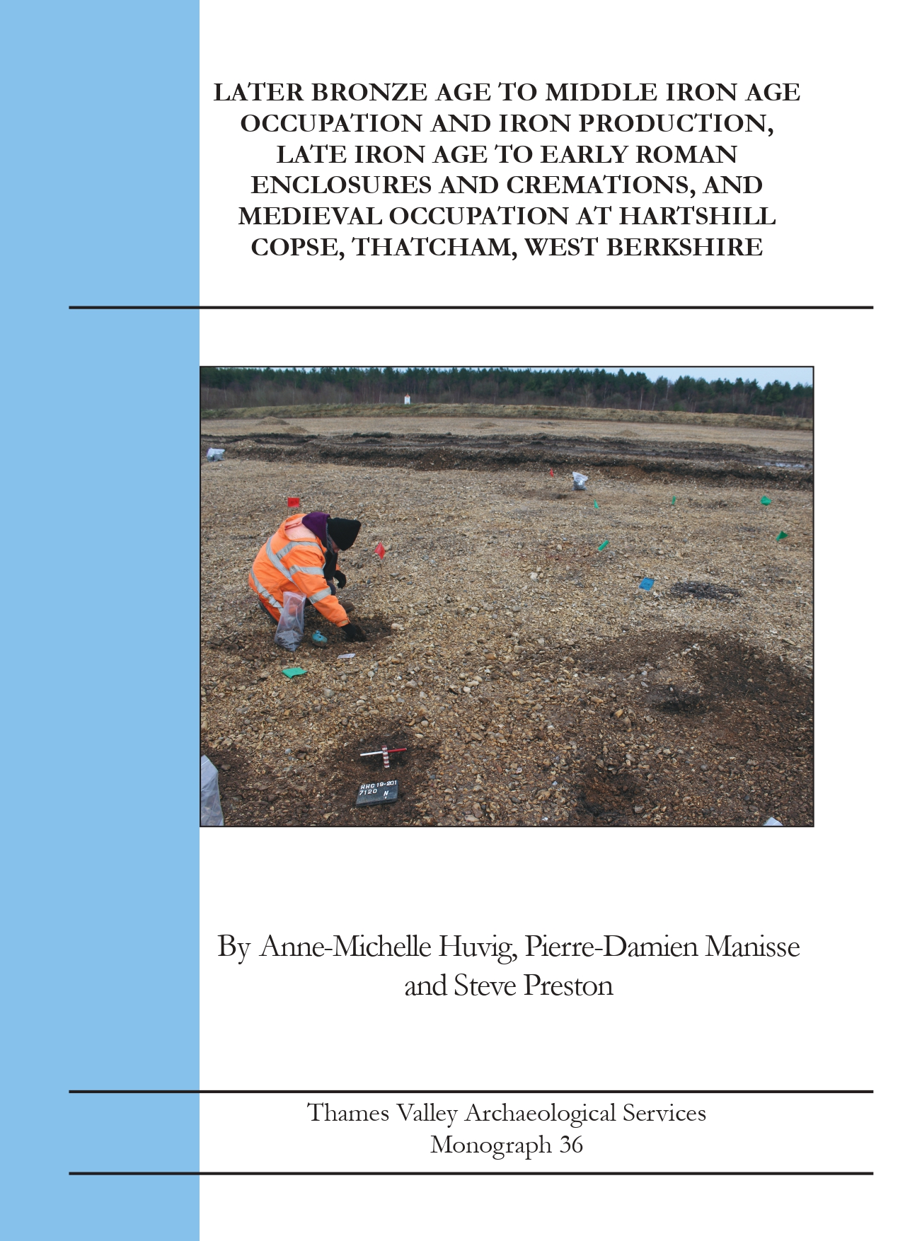
Monograph 36: Later Bronze Age to Middle Iron Age Occupation and Iron Production, Late Iron Age to Early Roman Enclosures and Cremations, and Medieval Occupation at Hartshill Copse, Thatcham, West Berkshire
Excavations in advance of gravel extraction on a 10ha site revealed a landscape occupied from the Later Bronze Age to the early Roman period, with later use in the Medieval period. The site published here complements a significant excavation to the south which had produced evidence for the earliest iron working in Britain. The results help to set the south site into its local landscape context, and also cover a longer timespan.
A single Middle Bronze Age pit was followed by numerous Late Bronze Age to Early Iron Age pits, best classed as a dispersed open settlement. Finds of smelting slag from this period confirm the early dating for the iron working found to the south. Middle and Later Iron Age features also mostly comprised pits and postholes with no clear structural associations, although a ring ditch and up to a dozen post-built roundhouses can be projected and the continuation of a large enclosure from the earlier site. An area of industrial activity included more iron production from the 6th century BC onwards. Three pit alignments were also identified, one containing a density of iron slag. One pit also contained a quantity of acorns, a rarity on British sites.
Two late Iron Age urned cremations were identified, and one Roman, and several deposits of pyre debris may be of either period. Late Iron Age to early Roman ditches represented three phases of an enclosure, likely part of a wider organization of the landscape at this time. Two iron-smelting hearths were identified, one of which contained in situ slag from the last firing of the furnace. All of the Roman deposits dated from the mid-1st to 2nd century AD. This early abandonment is in contrast to the later Roman date for the few Roman features to the south, so that a southwards shift in the focus of activity seems to be indicated rather than outright abandonment.
The Medieval period was represented by a small isolated farm dated to the 11th to 12th centuries AD, although economic evidence was very sparse.
The site’s chronology is supported by an extensive radiocarbon dating programme and this volume includes reports on substantial assemblages of pottery (mostly prehistoric), metallurgical residues, and charred plant remains, but soil conditions were not favourable to the survival of most other classes of finds.
A4 soft cover, 246pp, illustrated throughout including 26 colour plates
ISBN 978-1-911228-46-2
Paperback (+ PDF if requested) £25.00 (+postage and packaging)
PDF £22.00
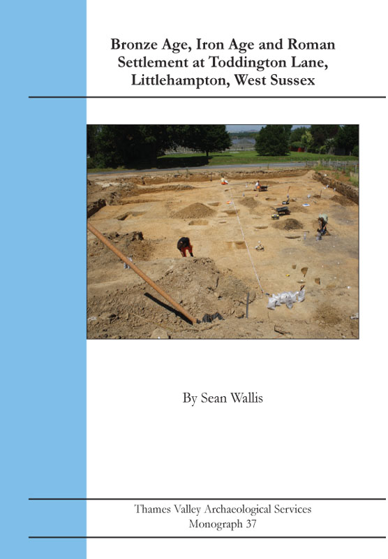
Monograph 37: Bronze Age, Iron Age and Roman Settlement at Toddington Lane, Littlehampton, West Sussex
Archaeological excavations in advance of an extensive development at Littlehampton,on the West Sussex coastal plain, examined part of a large multi-period settlement complex comprising deposits principally of later Bronze Age, Iron Age and Roman dates. One large site north of Toddington Lane and one smaller site to its south were investigated in ten areas based on the results of earlier evaluation, but it is clear that a substantial contiguous settlement complex that had extended for more than 400m had been extensively truncated by previous development on the sites. The Bronze Age deposits included a possible ritual shaft, and for the coastal plain, a rarely encountered ring ditch. The later Bronze Age is also notable for the presence of a field system. Evidence for Middle Iron Age occupation is relatively slight, lacking classic ring-gully houses but mainly represented by enclosure ditches. The majority of the features at both sites belong to the Late Iron Age into Roman period and comprise a complex farmstead. The settlement seemingly flourished until abandonment in the later 2nd or early 3rd century, well before the traditional end of Roman Britain, which is an increasingly observed pattern for sites on the coastal plain. Indeed, the smaller, southern site was abandoned even before this. Apart from farming, the site was not occupied again until the construction of horticultural nurseries in the 20th century. Both sites provided substantial pottery assemblages, and the prehistoric chronology is supported by nine radiocarbon dates. Among the other finds, the number of quern stones is notable.
A4 soft cover, 178pp, illustrated throughout including 20 colour plates
ISBN 978-1-91128-41-7
Paperback (+ PDF if requested) £20.00 (+postage and packaging)
PDF £20.00

Monograph 38: A Bronze Age Triple Ditch Barrow and Middle Iron Age Settlement at Wetstone Bridge Quarry, near Marston Meysey, Gloucestershire
This volume in the TVAS Monograph Series details archaeological excavations covering almost 18ha in advance of quarrying, in an area now extensively explored through many similar projects. The work primarily examined an extensive area of Iron Age occupation demonstrating repeated use of the same location from the 6th century BC down to the mid 1st century BC, with the chronology supported by radiocarbon dating. The settlement was unenclosed except that it lay on an isthmus of slightly higher ground bounded on two sides by palaeochannels. As many as 22 ring-gully house sites have been identified, some recut two, three or even four times on the same axis. A number of the ring gullies were integral with small enclosures (pens), and others contained entrances defined by short antennae ditches producing a ?banjo? form. Although the main complex itself was unenclosed, earlier phases of the use of this location included land division associated with more ring gullies and enclosures, remodelled at least once. Despite an extensive sampling programme, almost no charred cereal grains were recovered suggesting that the site was predominantly a pastoral farming endeavour, as is also suggested by older cattle forming an unusually high proportion of the faunal assemblage. The field boundaries may have been to assist dairy farming.
In addition an unusual triple ring monument was excavated. It contained no closely datable artefacts, burial deposits nor direct dating evidence, but was stratigraphically later than a waterlogged pit which produced a radiocarbon date of 2204-1965 cal BC. A dense cluster of pits and postholes including a roundhouse is thought to represent an area of Later Bronze Age occupation. Another isolated roundhouse is also of presumed Bronze Age date.
There is little evidence for use of the site after the Iron Age settlement was abandoned, until the digging of ditches, field boundaries and water meadows in late post-Medieval times. The site is considered in relation to other nearby excavations covering similar periods.
A4 soft cover, 90pp, illustrated throughout including 20 colour plates
ISBN 978-1-911228-47-9
Paperback (+ PDF if requested) £15.00 (+postage and packaging)
PDF £15.00

Monograph 39: A Medieval Tilery and occupation at 40-68 Silver Street, Reading, Berkshire
This volume describes the results of an open area excavation undertaken in two stages on the western side of Silver Street which revealed several phases of activity. The first occupation of the site consisted of a Medieval tilery comprising two tile kilns and a well, dated between the 12th and 14th centuries AD, with the last firing of one of the kilns returning an archaeomagnetic date between AD1268?1328. That the tilery was supplying tiles to the Abbey, is demonstrated by designs on wasters from the kilns here matching designs on tiles recorded in-situ in the floor of the Abbey cloister in excavations of the 1960s. Discovery of these medieval deposits at this location along Silver Street has added modestly to the known extent of the medieval town. The abandonment of the tilery was followed by a phase of intensive occupation with pit digging and evidence of a cellared building fronting Silver Street, dated between the 14th and 16th centuries. Evidence of post-medieval occupation was more scattered with a domestic oven dated between the 16th and 17th centuries and a spread of pits suggesting a continuation of the domestic occupation of the previous phase. This is the second discovery of medieval tile kilns in this part of Reading with a previous finding just 150m to the northeast last fired between AD1365?1400. Together, these findings might be indicative of the presence of an industrial suburb of the town, and which could be reflected in 16th century placename evidence, of ?Tylertoft? and ?Tyle Crosse?. Expected traces of the 17th Century Civil War defensive work were not located and it is suggested that as the site lay on the edge of the contemporary town, the defences passed just to the south so as to include the site.
A4 soft cover, 102pp, illustrated throughout including 23 colour plates
ISBN 978-1-911228-51-6
Paperback (+ PDF if requested) £15.00 (+postage and packaging)
PDF £15.00

Monograph 40: Iron Age and Roman enclosure with New Forest pottery kilns at Plumley Wood Quarry, Harbridge, Ringwood, Hampshire.
The first phase of archaeological excavations in advance of quarrying revealed densely packed evidence for use of the area over four or five periods, apparently with little or no continuity between phases. The earliest occupation took the form of two post-built roundhouses, tentatively dated to the early Iron Age which were succeeded in the middle Iron Age by ring-gully type roundhouses set amidst a very loosely structured field system. The site changed dramatically in the Late Iron Age with the creation of a concentric (double or triple) ditched trapezoidal enclosure housing two large circular structures (one of those itself concentric) and with a small rectangular structure interpreted as a shrine set beyond it to the east, and perhaps another roundhouse south of that. There was apparently then a significant break, with no early Roman activity on the site. In the middle Roman period, the area of the former enclosures was occupied by rectangular buildings and incorporated into a rectilinear field system. This field system was modified in successive phases into the late Roman period and while the layout then changes little in its fundamentals, the use of the site changes again quite substantially, with the creation and use of three or four kilns for the manufacture of New Forest Roman pottery. These phases of site use also see more developments of the field system, and larger buildings. Apart from the obvious evidence for pottery production, there was some (slight) evidence for the usual small-scale iron-working expected on a Roman rural site (smithing, with no evidence for production) and the presence of querns shows the processing of cereals. Other evidence for the economy of the site (either as a producer or a consumer site) was scant, with few finds in other categories, no animal bone surviving and few charred plant remains, with the exception of one late Roman posthole which produced hundreds of charred cereal grains, including barley, wheat and specifically spelt, so that an arable component to the economy can be envisaged.
A4 soft cover, 174pp, illustrated throughout including 29 colour plates
ISBN 978-1-911228-53-0
Paperback (+ PDF if requested) £20.00 (+postage and packaging)
PDF £20.00
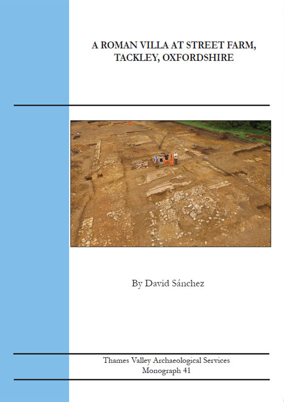
Monograph 41: A Roman Villa at Street Farm, Tackley, Oxfordshire
This monograph presents results of archaeological investigations in advance of development in 2017-18 at Street Farm, Tackley, in the Cherwell valley of northern Oxfordshire. Two phases of enclosure on the site predate the main occupation and are presumed to be later Iron Age. The main phase of use commenced with Roman occupation in the 1st century AD and with clear continuity until the early 5th century. The main component of the early occupation consisted of an Early Roman farmstead with a rectangular shaped post-type building. This was replaced within the 2nd century by at least two buildings now comprising part of a villa complex, which developed into a high status residential complex with mosaic floors, painted wall plaster, and a possible bath-house during the 3rd century. The buildings were abandoned in the later 4th century and partly robbed and partly collapsed, but was then partly reoccupied. The whole site appears to have been abandoned very early in the 5th century AD and was overploughed and robbed again in later Saxon and Medieval times. Despite this, the building remains survived to considerable depth and demolition rubble had at least partially protected mosaic floors which survived well enough for one of these to be conserved for display in Tackley village. Substantial assemblages of pottery, metalwork and many other finds are reported in detail and the animal bones add considerably to understanding the changing diet of the inhabitants in different phases of the occupation. A small cemetery consisting of eight cremation burials appears to date to the Early Bronze Age, although only one of these burials was well dated.
A4 soft cover, 225pp, illustrated throughout including 43 colour plates
ISBN 978-1-911228-52-3
Paperback (+ PDF if requested) £25.00 (+postage and packaging)

Monograph 42: Neolithic, Iron Age and Saxon ocupation at Milton Road, Shipton-under-Wychwood, Oxfordshire
A site on the edge of Shipton-under-Wychwood was archaeologically investigated prior to residential development. An open area excavation of 0.6ha exposed deposits of Neolithic,
Middle to Late Iron Age, and Middle Saxon occupation. Neolithic evidence mostly consisted of
a few dispersed pits. This occupation was probably much disturbed by later phases as Neolithic
pottery was commonly found mixed with later assemblages. Iron Age occupation began with
a post-built roundhouse and some curvilinear gullies. This unenclosed early settlement was
masked by a more substantial phase, consisting mostly of pens/paddocks and enclosures. The
main enclosure, extending towards the north-west, was left almost empty and probably had a
livestock management purpose. In a possibly later stage, clusters of pits (a total of about 175)
developed within and outside this enclosure. Further phases of enclosure first expanded then
replaced the original. Two radiocarbon dates taken from contexts at the start and end of the
sequence of enclosures indicated a likely commencement date in the mid 4th century BC and
lasting up to the late 2nd century BC.
Other peculiar features were noted: a low stone platform encircled by a gully and three pits
with a clay base lining, and fills that differed from the usual infill. One of these had a stone
lining. There was no trace of any Roman activity but if the pottery is identified correctly, there
could have been a Saxon presence in the form of two possible Sunken Featured Buildings and
a few pits.
A4 soft cover, 108pp, illustrated throughout including 35 colour plates
ISBN 978-1-911228-56-1
Paperback (+ PDF if requested) £15.00 (+postage and packaging)

Monograph 43: Iron Age and Roman Occupation at Highworth Road, Shrivenham, Oxfordshire
Archaeological excavation in advance of a housing development has recorded a parcel of land densely occupied in
the Early and Middle Iron Age with numerous post-built and ring-gully houses forming an unenclosed settlement.
Many of the structures had been refurbished on several occasions or simply replaced, indicating considerable time
depth to the use of the site. Faunal remains recovered indicated the animal husbandry practiced, with cattle and
sheep being dominant and with a mix of younger animals for consumption and older animals kept for milk, wool
or traction rather than meat. Charred plant remains suggest a strong emphasis on the growing of barley with few
other food species represented, perhaps indicating a regional preference for this crop. Very limited evidence was also
recovered for the selective disposal of human remains, including a rare trepanned skull fragment. There was also
a series of special deposits of animal bones.
Occupation of the site is thought to have ceased at the end of the Middle Iron Age but the area was
subsequently incorporated within an area of Roman land-use that might have commenced at the end of the Late
Iron Age. Although the boundary features were of substantial size and were recut several times, and despite the
presence of several wells, the volume of cut features and artefacts of this period was relatively modest, suggesting
that the focus of the Roman settlement lay elsewhere. Use of the site declined after the 2nd century AD with just
a few sherds of pottery of 3rd- or 4th-century date recovered.
The chronology is supported by a series of four radiocarbon dates. Fairly substantial assemblages of pottery
and animal bone are reported on, but other finds were relatively sparse.
A4 soft cover, 137pp, illustrated throughout including 32 colour plates
ISBN 978-1-911228-56-1
Paperback (+ PDF if requested) £17.00 (+postage and packaging)

Monograph 44: Neolithic, Bronze Age, Iron Age and Roman Features and a Saxon Burial at Spratsgate Lane, Shornecote, Gloucestershire
Excavations within Shorncote Quarry prior to mineral extraction, revealed a landscape occupied or exploited
from the Mesolithic through to the post-medieval period. The earliest evidence took the form of Mesolithic flints.
The first cut features were two pits which contained pottery of earlier Neolithic date. Radiocarbon dating of one
of the pits confirmed this chronology with a date of 3347?3084 cal BC.
The later Neolithic is represented by three pits, one containing a ?placed deposit? of worked flint and a
polished stone axe probably from Cornwall. Radiocarbon gave this pit a date of 2789?2569 cal BC. Late
Neolithic-Early Bronze Age activity took the form of a small ring ditch with a central inhumation burial and
a possible ?head and hooves? cattle burial. A radiocarbon date of 2292?2135 cal BC was obtained from a
fragment of the human skull.
In the Middle Bronze Age, an adult female was buried in a crouched position, with a radiocarbon date of
1382?1323 cal BC. The later Bronze Age to early Iron Age saw a dispersed open settlement which included
roundhouses, four-post granaries (or variants with 6 or 8 posts), and fence lines.
The middle-later Iron Age is represented by roundhouses, pits and postholes and several lengths of segmented
linear boundaries.
Late Iron Age-early Roman occupation is less dense, taking the form of a small number of pits. Roman
activity comprised a trackway and a series of enclosures and ditches together with a stone-lined well and pits.
This occupation dates between from the later 1st century and throughout the 2nd century. The 3rd century was
represented by a small mixed inhumation and cremation cemetery.
There was a hint of Anglo-Saxon occupation with just a few sherds of pottery, but one burial radiocarbon
dated to the 8th or 9th century at the south end of the site (cal AD701?894). Medieval and post-medieval ridge
and furrow and field ditches were also recorded.
A4 soft cover, 109pp, illustrated throughout including 29 colour plates
ISBN 978-1-911228-56-1
Paperback (+ PDF if requested) £17.00 (+postage and packaging)
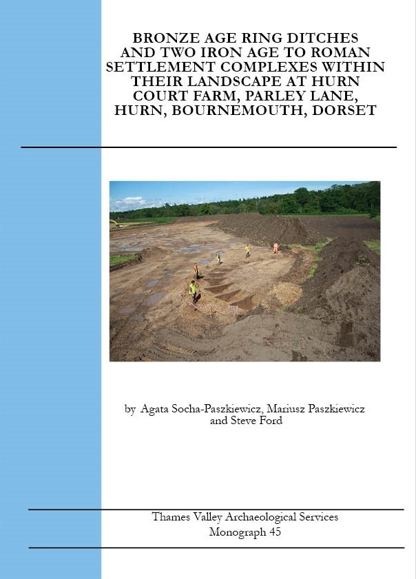
Monograph 45: Bronze Age Ring Ditches and Two Iron Age to Roman Settlement Complexes withing their Landscape at Hurn Court Farm, Parley Lane, Hurn, Bournemouth, Dorset
Fieldwork in advance of mineral extraction revealed a range of settlement and burial deposits of Neolithic,
Earlier Bronze Age, Middle Iron Age and Roman dates. A few Mesolithic flints were also found.
The distinctive deposits of Bronze Age date were four ring ditches. One was fully excavated, two
partially excavated and another preserved in-situ. It is uncertain if a fifth partially excavated feature was a
ring ditch or a sub-circular Roman enclosure. Ephemeral traces of broadly contemporary occupation were also
recorded.
The main archaeological deposits were two dense settlement complexes, just 300m apart, demonstrating
considerable time depth with numerous intercutting features, multi-recut linear features and reorganized
boundaries. The South site commenced as a circular enclosure in the Early Iron Age (c. 5th century BC) and was
the genesis of a settlement that seemed to be continuously occupied up until the early 4th century AD. The North
site commenced as an area of Late Iron Age field boundaries before developing into a large settlement complex
again seemingly occupied continuously without a break into mid-4th century Roman times. Although there are no
physical links between the two complexes, the ?triangular? form and orientation of funnel arrangement of ditches
opening on to a large undeveloped area, suggests use of common pastureland.
A4 soft cover, 201pp, illustrated throughout including 36 colour plates
ISBN 978-1-911228-67-7
Paperback (+ PDF if requested) £19.00 (+postage and packaging)

Monograph 46: An Extensive Middle to Late Bronze Age Landscape, Saxon Settlement, and Medieval Features at Horton Brook Quarry, Colnbrook, Berkshire
Archaeological fieldwork in advance of mineral extraction spanning ten phases over 13 years at Horton Brook
Quarry in Berkshire, revealed an extensive enclosed and organized landscape of Middle and Middle/Late
Bronze Age fields, with broadly contemporary settlement clusters, whose chronology is supported by multiple
radiocarbon dates. A waterlogged Bronze Age well had a preserved wattlework retaining structure and featured
the ritual deposit of a human skull. This intensively managed landscape appears to have gone out of use with
the digging of a late Bronze Age long boundary ditch which cut across the site, and perhaps heralded a period of
less formal land use. There then appears to have been a long period of abandonment, with very few finds from
intervening periods (except a few ditches on a very different alignment at the north end which might be Roman)
until these Bronze Age deposits were overlain by a number of Medieval fields and an enclosure along with pits
including a well containing waterlogged remains. Only on one small area was there an exception to this general
abandonment, with rare (for the region) evidence of Middle Saxon settlement dating to the 7th to 9th centuries
AD, represented by a nearly square enclosure and four pits.
The site produced a considerable assemblage of Bronze Age pottery (albeit very few sherds in any individual
feature) but other finds were very scarce. An extensive sieving programme recovered a modest amount of
environmental evidence, apart from the waterlogged remains from several waterholes. A notable find made by a
metal detectorist, separately from the excavation programme, was a gold torc with gold rings threaded onto it. The
gravel extraction also dragged up two mammoth tusks.
A4 soft cover, 162pp, illustrated throughout including 37 colour plates
ISBN 978-1-911228-65-3
Paperback (+ PDF if requested) £19.00 (+postage and packaging)
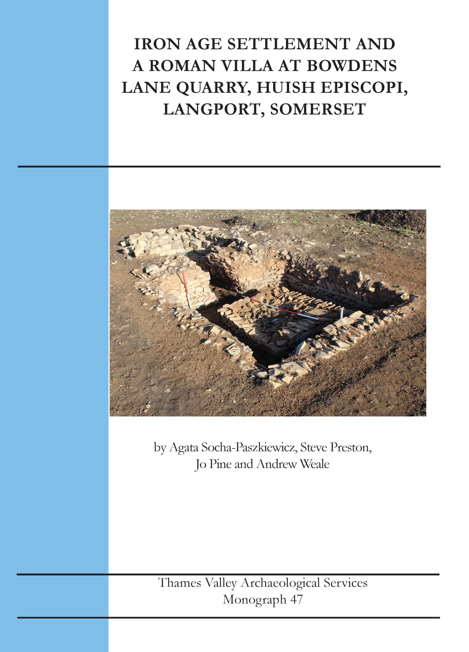
Monograph 47: Iron Age Settlement and A Roman Villa at Bowdens Lane Quarry, Huish Episcopi, Langport, Somerset
Excavations in advance of mineral extraction revealed extensive archaeological remains spanning the early Bronze Age to the late Roman periods, with a few later features. The chief periods of activity were the later Bronze Age to early Iron Age, the middle Iron Age and early through to later Roman times. An extensive spread of deposits has been interpreted as a midden, rich in Later Bronze Age to early Iron Age pottery, which is a well-recognized ‘feature’ type for the period, albeit still rarely found, as preservation especially over such a wide area as here must be assumed to be rare. The prehistoric ceramics, mainly from this ‘midden’, form a regionally significant group. Iron Age roundhouses in two foci were accompanied by numerous pits and several 4-poster ‘granaries’, suggesting a protracted occupation in this period.
A further ring gully seems to have been the site of an early Roman roundhouse, and this was soon followed by a sequence of rectangular stone structures which by the 3rd century would merit the designation as a villa, albeit a very modest one. Two structures appear to be corn-drying ovens, although it is not ruled out that the more elaborate one was a small plunge bath. A notable aspect of the site is the presence of human burials, perhaps in all the main periods of use and certainly in the later Roman phase. Isotope analysis suggests that all three of the individuals sampled originated in a colder climate than south-west Britain. The site chronology is supported by a series of radiocarbon dates.
A4 soft cover, 250pp, illustrated throughout including 14 colour plates
ISBN 978-1-911228-68-4
Paperback (+ PDF if requested) £25.00 (+postage and packaging)
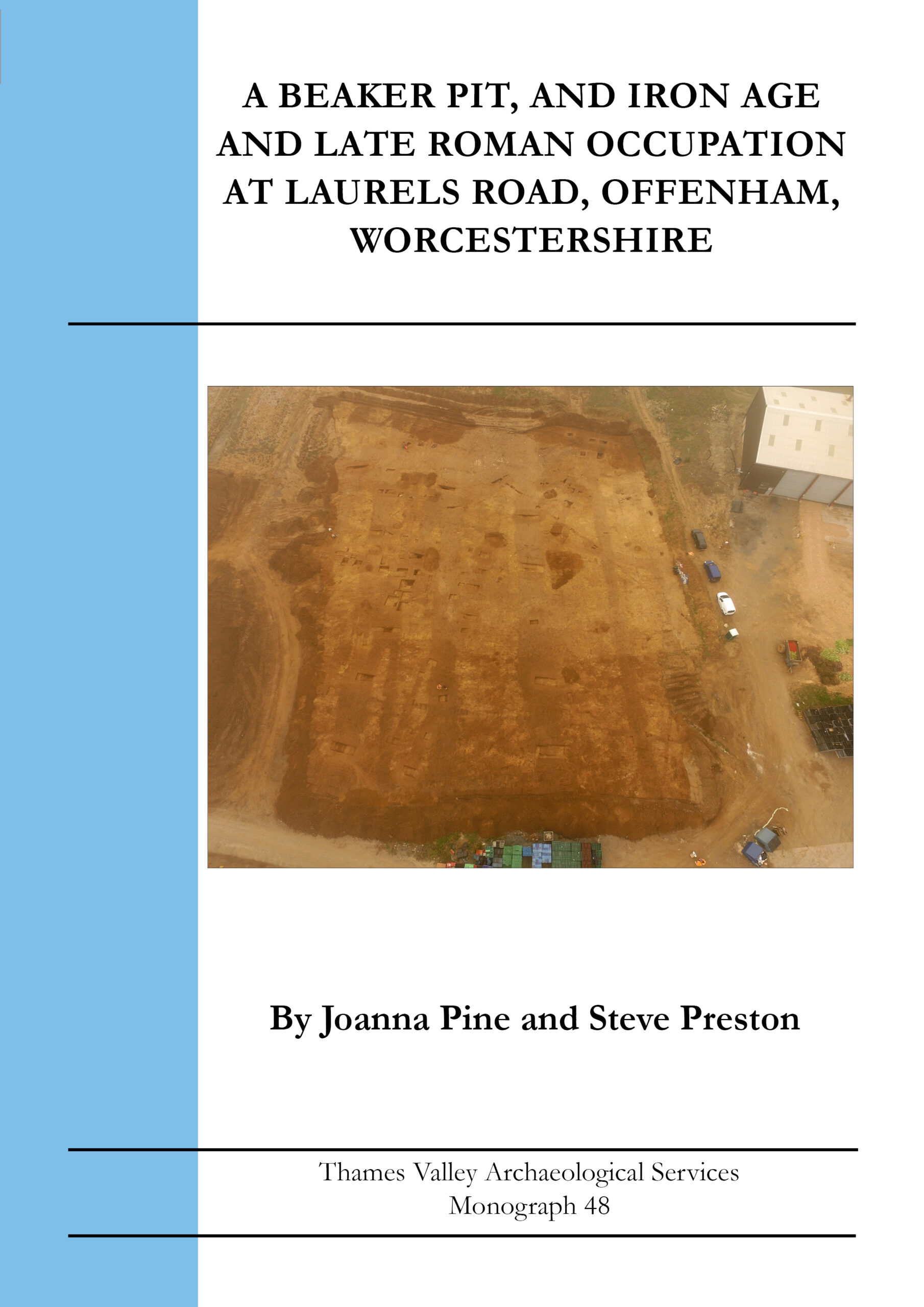
Monograph 48: A Beaker Pit, and Iron Age and Late Roman Occupation at Laurels Road, Offenham, Worcestershire
Excavation in advance of development produced evidence of landscape use from the late Neolithic/early Bronze Age (Beaker period), middle and late Iron Age and middle to late Roman, besides later ridge and furrow. The Beaker period was represented only by a single pit containing the period’s distinctive pottery, but with no survival of the expected burial deposits. Two late Iron Age urned cremations were recorded, and several un-urned cremations or deposits of pyre debris including tiny quantities of human bone, may be presumed to be of the same period, although they could equally be Bronze Age or Roman.
A number of Iron Age (field) ditches preceded the main Iron Age use of the site. A C-shaped enclosure defined by a substantial ditch was radiocarbon dated to the Middle Iron Age, with a square enclosure surrounding a grave of Late Iron Age date. The burial, of a man aged in his 40s or older, had been placed beneath stone slabs but with no grave goods. A radiocarbon date places the burial in the late 1st century BC or early 1st century AD. Isotope analysis was noteworthy as it suggested that the person did not grow up locally but had come from a cooler part of northern Europe or Scandinavia.
The main results of the excavation, date to the Roman period, from the middle of the 2nd century until the late 4th or even early 5th century. The features recorded were mainly ditches, representing field boundaries or enclosures. It had been anticipated that the site might contain a villa but one of the two structures revealed was only of humble construction and not necessarily a house. Nonetheless some of the finds assemblages do suggest a relatively affluent site and it remains possible that there is a villa nearby, and the presence of a presumed corn-dryer tends to support this suggestion. A suggestion of continuity into the 5th century is difficult to substantiate on any grounds other than the stratigraphic depth of the ‘latest Roman’ period which has to accommodate at least three sub-phases involving fairly substantial changes in layout and seems difficult to reconcile with a shorter chronology entirely confined to the late 4th century. The latest feature, a very large ditch, puts the earlier field systems completely out of use.
A4 soft cover, 70pp, illustrated throughout including 17 colour plates
ISBN 978-1-911228-70-7
Paperback (+ PDF if requested) £15.00 (+postage and packaging)
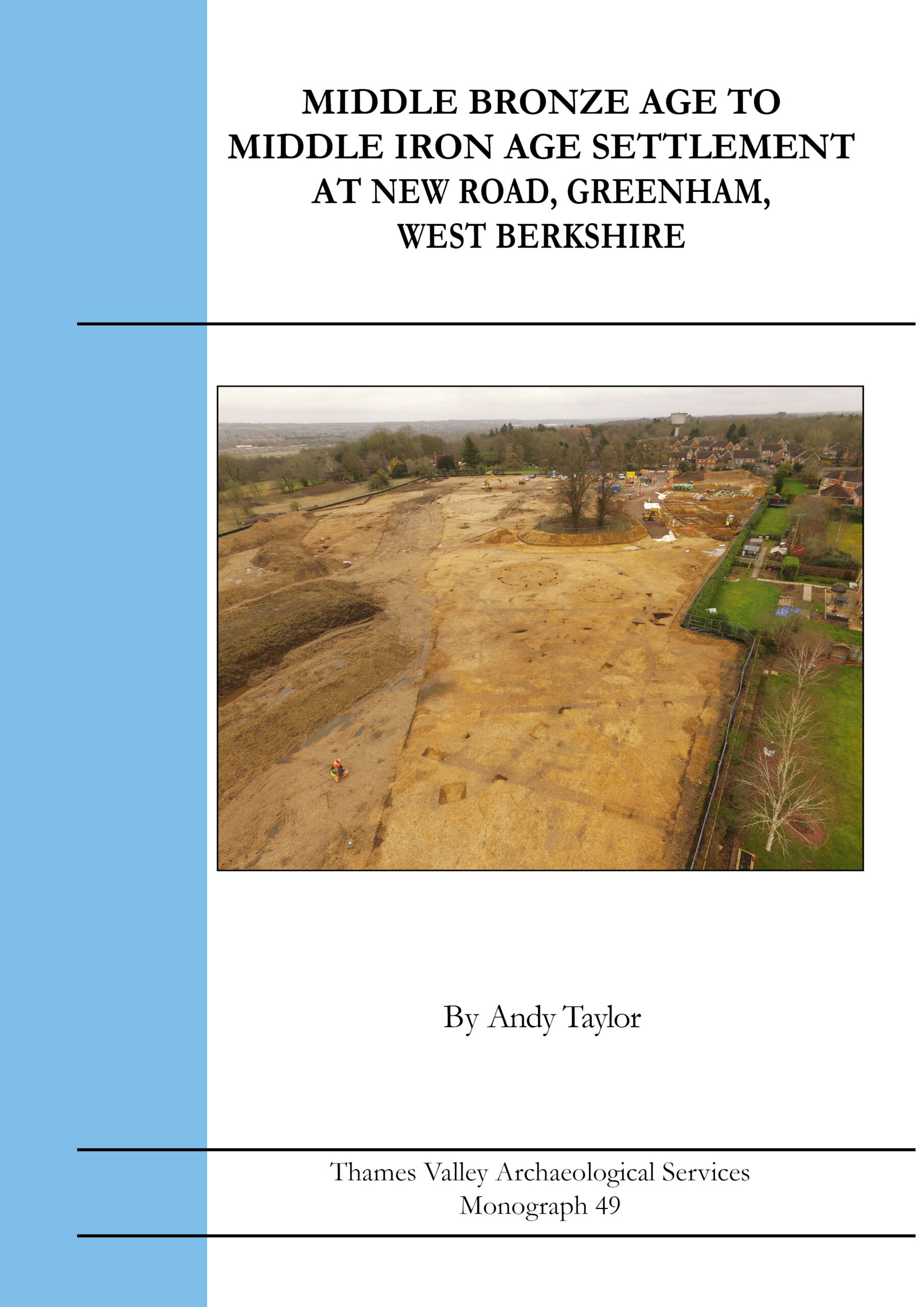
Monograph 49: Middle Bronze Age to Middle Iron Age settlement at New Road, Greenham, West Berkshire
The excavation revealed an extensive spread of archaeological deposits, the limits of which were not reached. The majority of the features are of earlier to Middle Iron Age date with a few deposits assigned to the Early Bronze Age, Middle Bronze Age, Roman and Medieval periods. Despite the proximity of the site next to the village of Greenham recorded in Domesday Book, no Anglo-Saxon deposits were recorded and Medieval activity was restricted to a number of field boundaries. A cremation burial in a Collared Urn was the only certain Early Bronze Age feature.
The Middle Bronze Age activity largely comprised a rarely encountered ‘L-shaped’ enclosure. The earlier Iron Age occupation initially comprised a dispersed open settlement with several post-built roundhouses, fence lines, ‘four-post’ structures and numerous discrete posthole and pit features. The settlement evolved into a Middle Iron Age settlement but now consisting of an enclosure with ring gully roundhouses within. The small number of Roman features recorded include a single cremation burial of 2nd/3rd century date and possibly a rectangular building.
The chronology of the site is supported by seven radiocarbon dates.
A4 soft cover, 115pp, illustrated throughout including 35 colour plates
ISBN 978-1-911228-71-4
Paperback (+ PDF if requested) £17.00 (+postage and packaging)
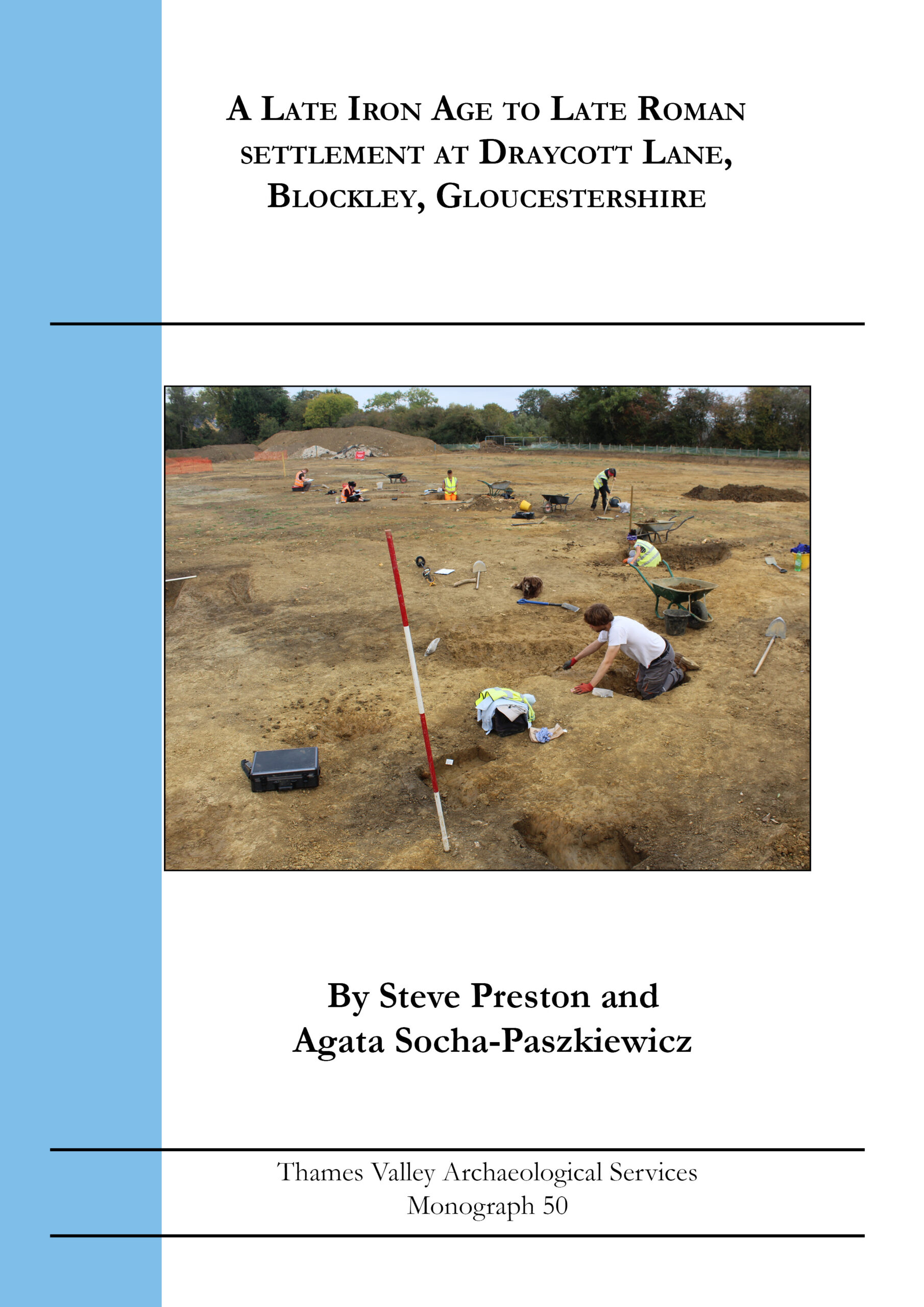
Monograph 50: A Late Iron Age to Late Roman Settlement at Draycott Lane, Blockley, Gloucestershire
Archaeological excavation revealed a Late Iron Age to Roman settlement typical of the Cotswold Hills for this period. The fieldwork revealed a complex settlement comprising numerous ditched (and hedged) pens, paddocks and enclosures which had been re-ordered on numerous occasions. The settlement was not enclosed per se but was aligned on a nearby ditched trackway. This emphasis on numerous small enclosures is thought to indicate that livestock management was the dominant economic activity of the occupants. Sieving recovered few charred cereal seeds and no facilites for cereal processing (such as corn driers) or storage were recorded. The faunal remains indicated a typical range of stock animals dominated by cattle followed by sheep and pig with some horse. Few finds were indicative of any wealth and the settlement was probably that of an ordinary farming community comprised of several related families.
As with many settlements across southern England the site originated in the mid 1stcentury AD, flourished during the 2nd and 3rd centuries AD only to decline and then be abandoned in the 4th century AD. There were no indications of later occupation until the site was overlain by Medieval ditches and ridge and furrow field system.
A4 soft cover, 121pp, illustrated throughout including 19 colour plates
ISBN 978-1-911228-73-8
Paperback (+ PDF if requested) £17.00 (+postage and packaging)
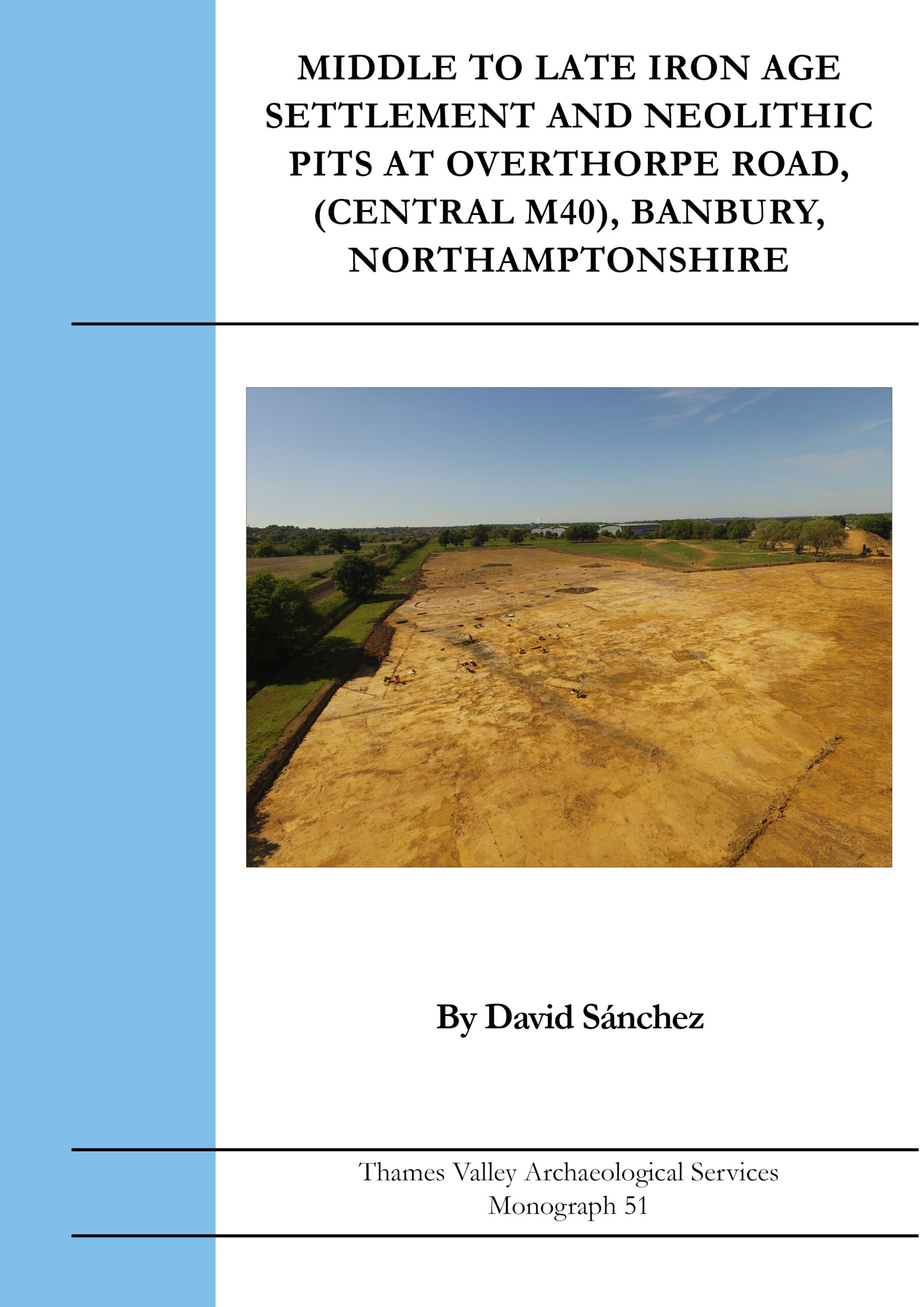
Monograph 51: Middle to Late Iron Age Settlement and Neolithic Pits at Overthorpe Road, (Central M40), Banbury, Northamptonshire
An archaeological excavation in advance of industrial development recorded a large organised settlement of Middle to Late Iron Age date, with occasional evidence of Middle Neolithic, Bronze Age and Early Iron Age activity.
The chronology of the eight main phases of occupation spanning the Middle to Late Iron Age is supported by a series of radiocarbon dates and many stratigraphic relationships. Use of the site seems to terminate in the final stages of the Late Iron Age, with virtually no evidence of continuation into the Roman period.
The settlement is represented by a series of large compounds defined by large ditches and the presence of internal roundhouses, along with smaller and medium-sized enclosures arranged around an open area, possibly analogous to a medieval village green. In one phase of the development of the settlement, access appears to have been controlled by the use of narrow entrances, a strong gate and blocking ditches.
Despite an extensive programme of soil sieving, charred cereal remains were few and facilities for bulk grain storage such as storage pits or raised granaries were not well represented leading to the suggestion that animal husbandry was the most significant influence on the settlement’s layout. In particular, it was noted that horse was represented in much higher proportions than usual leading to the suggestion that one of the site’s functions might be that of a horse fair.
A4 soft cover, 171pp, illustrated throughout including 37 colour plates
ISBN 978-1-911228-72-1
Paperback (+ PDF if requested) £25.00 (+postage and packaging)

Monograph 52: Excavations at Saxon and Medieval Barking Abbey, with Prehistoric and Earlier Saxon Occupation
Archaeological investigations over several years at Abbey Retail Park in Barking have enabled a better understanding of the historically important Saxon and Medieval Abbey, as well as earlier phases of use of the site. There was limited evidence for the Mesolithic, Neolithic, Bronze Age and Roman periods, but the earliest occupation on the site may have been in the Iron Age when a small enclosure was created.
Early Saxon occupation might have included a pre-Abbey religious site. The transformation of what otherwise appears to be a routine early Saxon rural settlement into a major religious establishment would be a significant change. The Saxon Abbey was founded in the later 7th century and flourished during the 8th and 9th centuries. One timber building dated to the early 8th century is suggested as a ‘founder shrine’ and covered a series of pits containing a wide variety of highstatus finds. A two-cell timber building may have been the Saxon church. A timber-lined leat may have fed an 8th-century water mill. The middle Saxon site included a glass-making kiln archaeomagnetically dated to the early 10th century.
The Abbey’s re-founding by King Edgar in the 960s is not manifest as any substantial rebuilding in this area. The early medieval abbey buildings were to the east, and there is comparatively little evidence for this period here, but in the latter half of the 12th century and into the 13th, corresponding with the re-building of the Abbey, parallel ditches marked a trackway from the Abbey buildings towards the river Roding. In the late Medieval period precinct walls were constructed for the Abbey, one following the course of this trackway, and other works seem mainly to be for drainage and water management, but also included cellared buildings, and lead working perhaps for windows or roofs.
Detailed reports on a wide variety of finds highlight the archaeological wealth of the site and the chronology is
supported by dendrochronology, archaeomagnetic and radiocarbon dating.
A4 soft cover, 114pp, illustrated throughout including 33 colour plates.
ISBN978-1-911228-74-5
Paperback (+ PDF if requested) £19.00 (+postage and packaging)
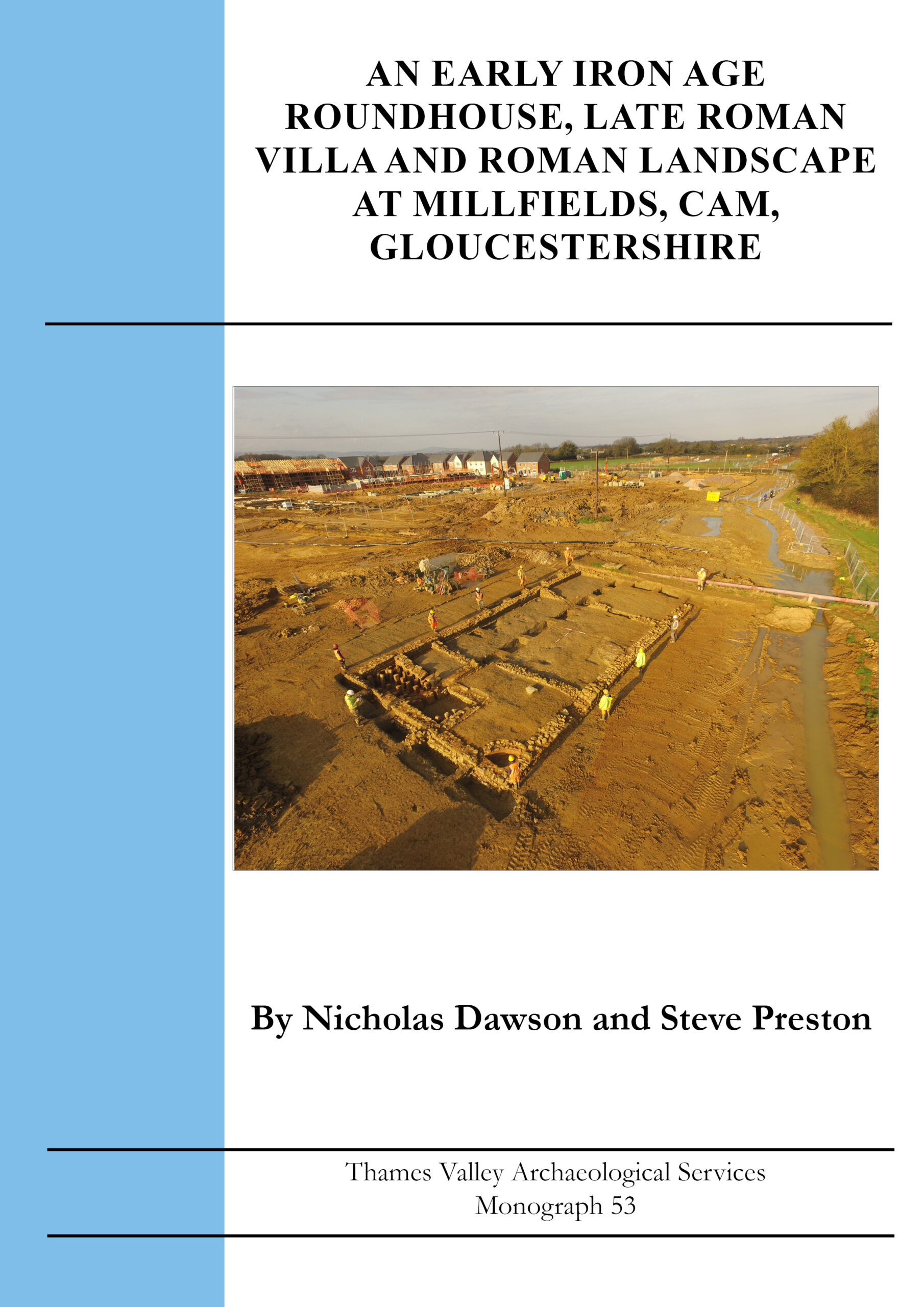
Monograph 53: An Early Iron Age Roundhouse, Late Roman Villa and Roman Landscape at Millfields, Cam, Gloucestershire
Fieldwork revealed details of a wide landscape of Roman fields and enclosures laid out around the junction of two droveways and probably spanning the entire Roman period. An early Iron Age roundhouse radiocarbon dated to 653-542 cal BC had previously occupied the same area that was to be close to the heart of the Roman enclosures. However, the chief interest of the site lies in the late Roman period (later 3rd to 4th C) when a rectangular villa was constructed on the terrace edge overlooking the river Cam. Initially of just three rooms it was soon expanded to six and the southern end was then subdivided to form a bath suite. Although of very simple plan form, the building was of some sophistication with very substantial deep stone foundations carrying stone walls, an elaborate hypocaust, decoratively painted wall plaster, stone roof, and furniture including some with decorated stone tops. Other signs of obvious wealth, however, are lacking. The villa seems to have been demolished by the end of the 4th C, possibly earlier.
The faunal component of the economy comprised a typical dominance of cattle followed by sheep/goat and pig with few exotic species, and the proportions of which changed little through the life of the settlement. Evidence for arable production was again typically modest, with no structures such as corn driers present, though millstones imply large scale production of flour.
A4 soft cover, 134 pp, illustrated throughout including 81 colour plates
ISBN 978-1-911228-75-2
Paperback (+ PDF if requested) £25.00 (+postage and packaging)
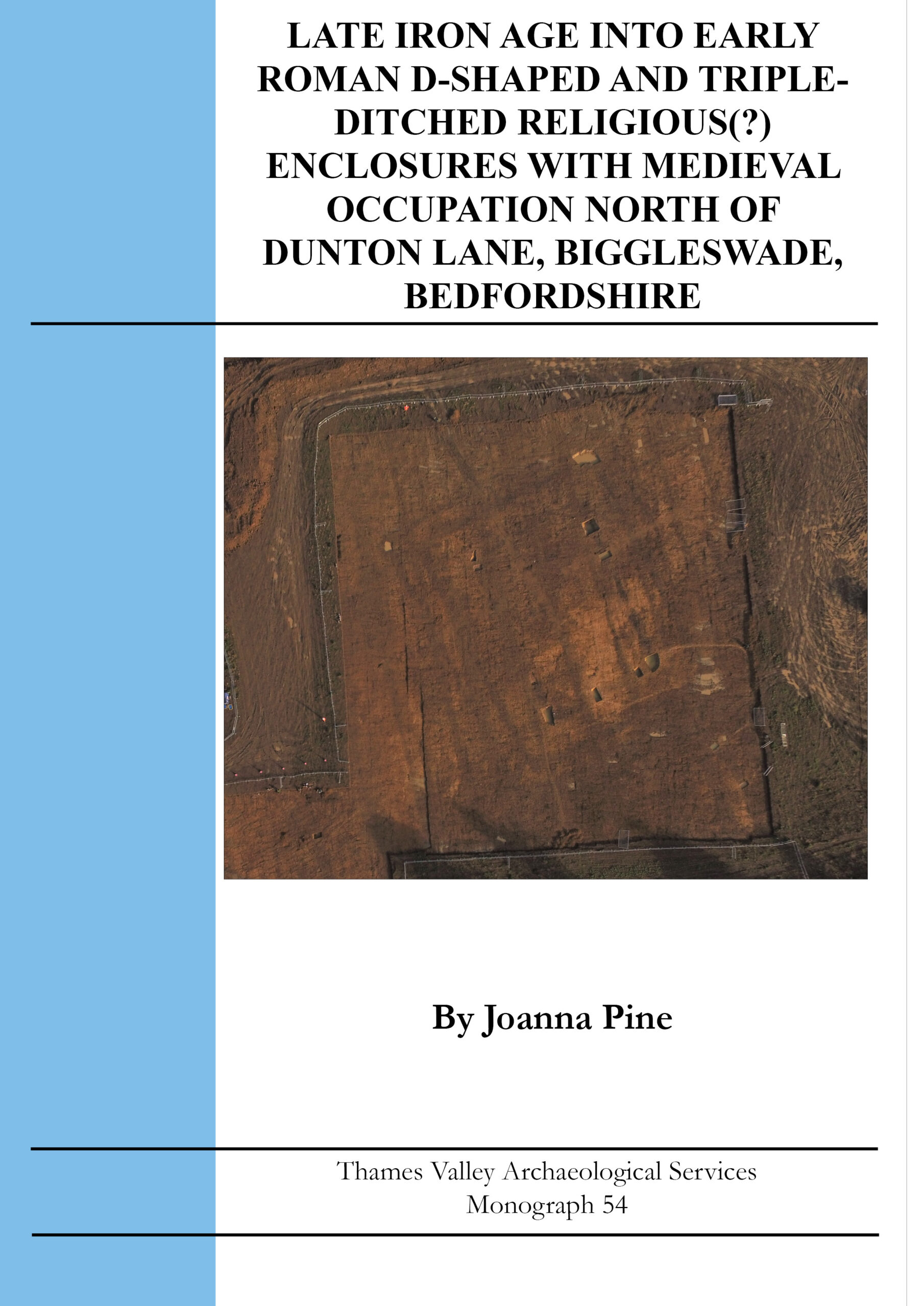
Monograph 54: Late Iron Age into Early Roman D-Shaped and Triple Ditched Religious (?) Enclosures with Medieval Occupation North of Dunton Lane, Biggleswade, Bedfordshire
Archaeological excavation, following a trial trench evaluation and geophysical survey over a larger area, has revealed a long-lived series of enclosures which appear to have a religious function, on the edge of a ladder settlement (unexcavated) to the south. A small square ditch that might be a barrow ditch but is more likely an enclosure has been dated to the late Iron Age and was set within a larger D-shaped enclosure which probably remained in use until after the Roman Conquest.
This was replaced by a series of three concentric rectangular enclosures which might not all have been created in one phase but which would have remained in use together for a long period, from at least the mid-2nd century if not before, into the 4th century AD. While none of the Late Iron Age or Roman phases included any human burials, the unusual pattern of animal bone deposition within the ditches, and pits in the area they enclosed, along with the layout of the site, strongly suggests these enclosures had a religious function. Other finds, however, were unremarkable.
The south-west corner of the excavation area, by contrast, showed repeated redefinition of boundaries of a land plot fronting Dunton Lane, and intensive pit digging for refuse disposal, within the medieval period.
A4 soft cover, 91 pp, illustrated throughout including 21 colour plates
ISBN 978-1-911228-76-9
Paperback (+ PDF if requested) £19.00 (+postage and packaging)
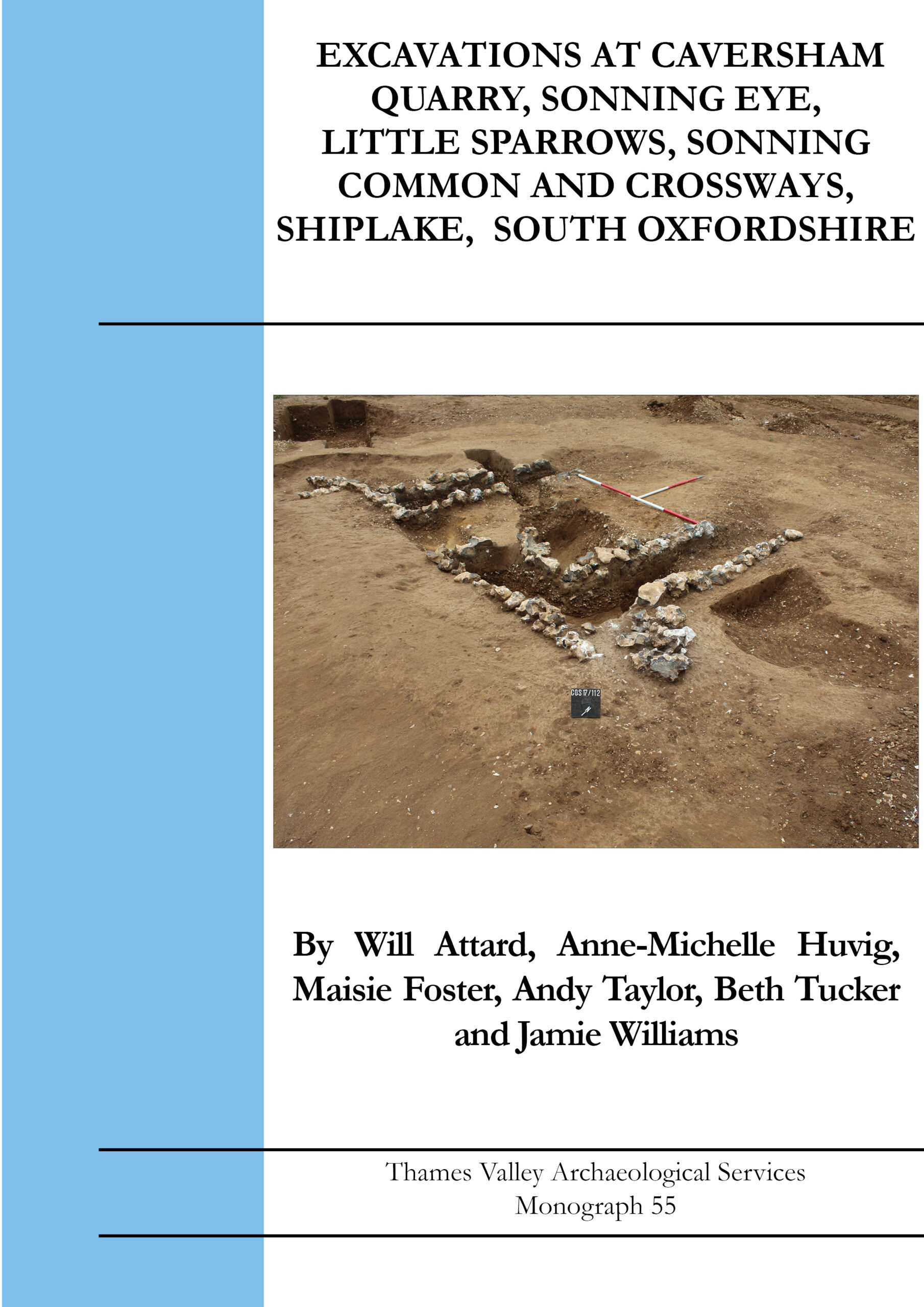
Monograph 55: Excavations at Caversham Quarry, Sonning Eye, Little Sparrows, Sonning COmmon and Crossways, Shiplake, South Oxfordshire
This volume documents three archaeological excavations within a small area of the Thames Valley in South Oxfordshire. The major site was at Caversham Quarry which primarily recorded Middle Iron Age and Roman settlements along with fewer remains of Neolithic, Early and Middle Bronze Age and Anglo-Saxon date. The Middle Iron Age phase comprised a settlement enclosure containing two ring-gully houses alongside a trackway. The Roman site was more extensive and spread but included a large rectangular building, two wells with preserved timbers, a double corn drier and a small cemetery. Two of the skeletons were subject to isotope studies suggesting that they might originate from western Britain but were more probably locals. The chronology of the site was supported by eight radiocarbon dates.
A smaller excavation at Crossways, Shiplake to the north east of Caversham Quarry investigated an unenclosed Middle Iron Age site comprising a single ring gully house and a large number of artefact-poor pits.
The final small excavation at Little Swallows, Sonning Common to the north, located a small number of Middle Bronze Age and Roman features. The main significance of the Bronze Age finding was to reiterate the high density of small unenclosed Middle into Late Bronze Age sites recorded for this region of the Middle Thames Valley.
A4 soft cover, 181 pp, illustrated throughout including 59 colour plates
ISBN 978-1-911228-81-3
Paperback (+ PDF if requested) £23.00 (+postage and packaging)
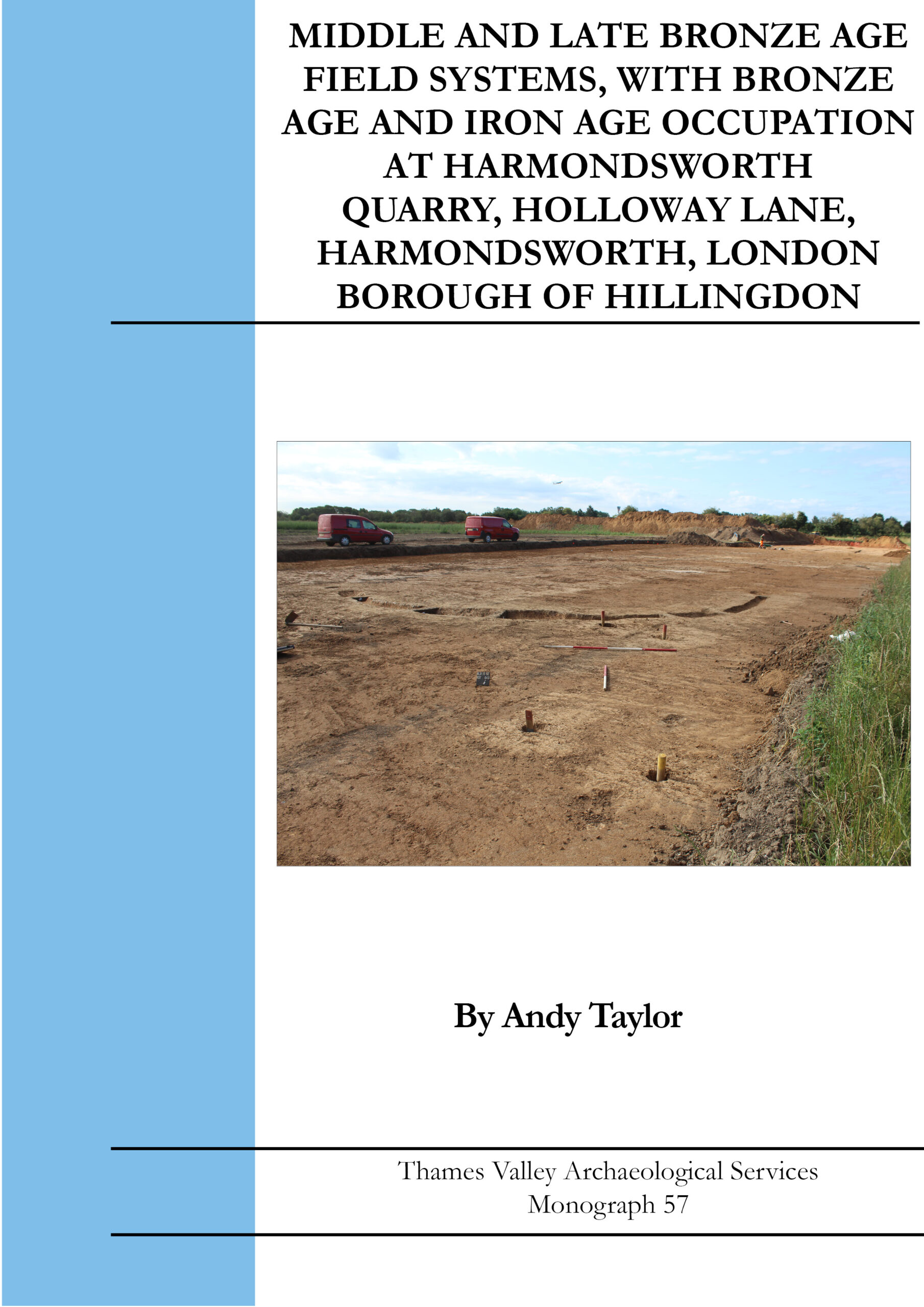
Monograph 57: Middle and Late Bronze Age Field Systems, with Bronze Age and Iron Age Occupation at Harmondsowrth Quarry, Holloway Lane, Harmondsworth, London Borough of Hillingdon
The excavation of a 10ha site in advance of quarrying revealed an extensive spread of archaeological deposits The majority of the features are of Bronze Age and Iron Age dates, and this chronology of the site is supported by ten radiocarbon dates.
The earliest evidence was a small collection of later Mesolithic flintwork and a Neolithic pit, which contained a polished Langdale stone axe. The Middle Bronze Age was represented by parts of a field system which extended northwards beneath the M4 corridor. Whilst pottery was moderately plentiful, other traces of occupation were very rare. Unusually, three inhumation burials were placed in one of the Middle Bronze Age field ditches. Subsequent occupation of Later Bronze Age, Early and Middle Iron Age dates is best described as dispersed open settlement comparable with a number of similar sites in the Thames and Kennet Valleys to the west. These three phases of occupation were notable in containing a large number of 4-post and related structures, with a rarely encountered Middle Iron Age rectangular post built structure. A second area of field system seems to date to the Later Bronze Age or even later.
The presence of Bronze Age field systems here reinforces the observation that this zone of the valleys of the Thames and its tributaries has a high density of landscapes organized into field systems.
A4 soft cover, 131 pp, illustrated throughout including 36 colour plates
ISBN 978-1-911228-82-0
Paperback (+ PDF if requested) £23.00 (+postage and packaging)
Monograph 58: Bronze Age, Iron Age and Early Saxon Occupation at East Hall Farm, Wennington, Rainham, London Borough of Havering
Archaeological fieldwork over several years in advance of quarrying has revealed a spread of archaeological features spanning several quite separate phases. Several gullies, pits and postholes were dated to the Late Bronze Age/Early Iron Age and Late Iron Age, and could form two or more enclosures. The ring ditch of a Later Bronze Age round barrow was fully excavated. Pits and cremation burials are probably contemporary or only slightly later and one cremation was radiocarbon dated to 1299–1122 cal BC. Numerous post holes (some of them structural and identified as possible granaries) were recorded, with dates ranging from the Bronze Age to the post-medieval period.
Seven, possibly eight, Grübenhauser (Saxon sunken-featured buildings) occupied a wide area in the north-eastern corner of the site but have little other settlement infrastructure associated with them. The chronology of this phase is supported by eight radiocarbon dates, all in the 5th to 6th centuries cal AD. A single pit appears to be Late Roman. Many features also remain undated. A collection of Mesolithic flintwork is interpreted as representing a small occupation site and one large blade is tentatively identified as being of Upper Palaeolithic date. The remains of a ditch interpreted as having surrounded a late medieval or early post-medieval windmill was also partially explored.
A4 soft cover, 112 pp, illustrated throughout including 36 colour plates
ISBN 978-1-911228-83-7
Paperback (+ PDF if requested) £17.00 (+postage and packaging)
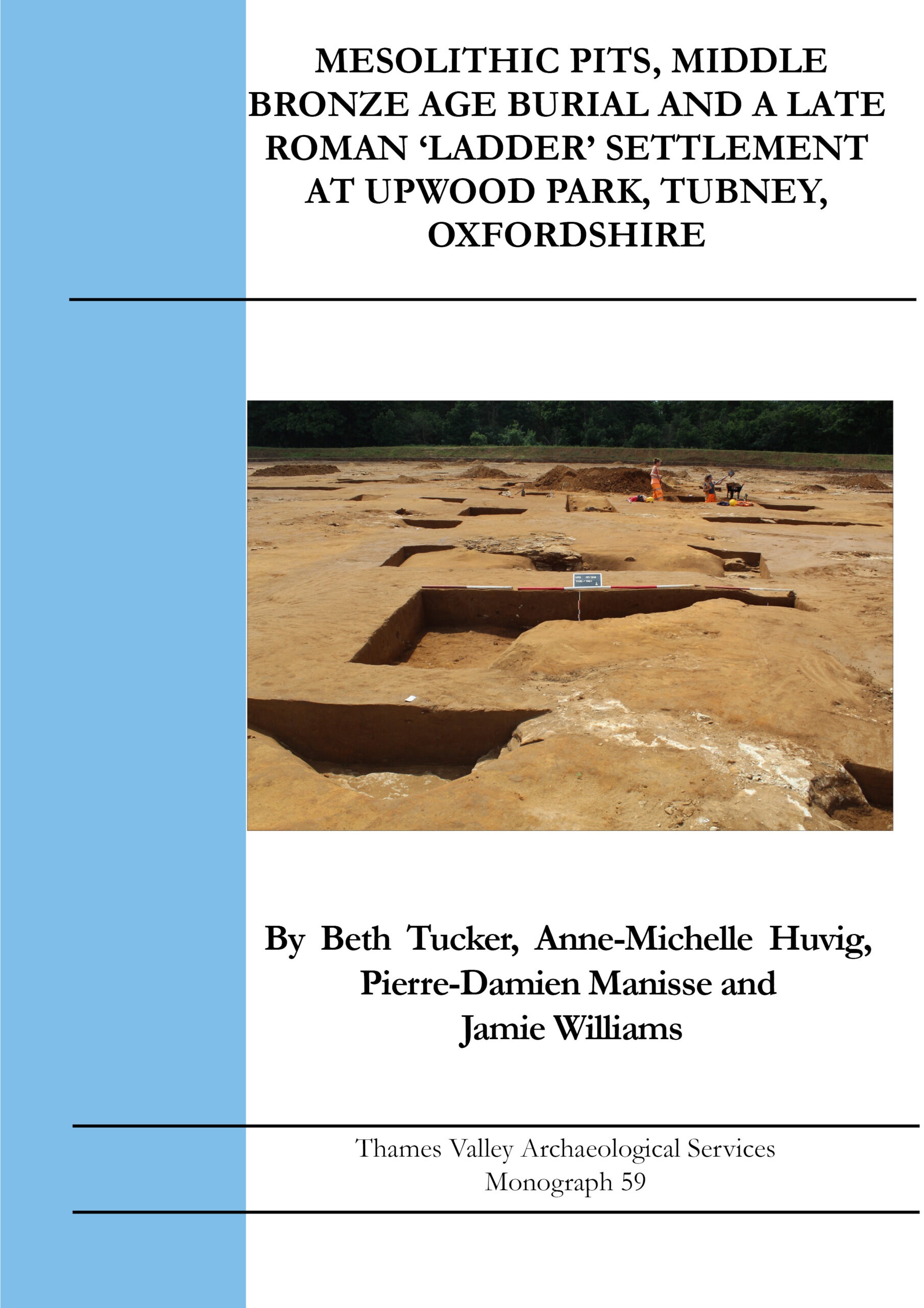
Monograph 59: A Mesolithic Pit, Middle Bronze Age Burial and a Late Roman 'Ladder' Settlement at Upwood Park, Tubney, Oxfordshire
Roman archaeology dominated the excavation works at Upwood Park, Tubney revealing a 3rd-4th century ‘ladder’ settlement (a row of small rectangular enclosures, resembling a ladder when seen in plan) with four wells, associated field systems, a possible droveway and a number of pits identified. Although three phases can be recognized, only the 3rd-4th century phase can be confidently dated, with one phase earlier than this, but not necessarily much earlier, and just a few features later. Finds were not plentiful, nor remarkable. Charred plant remains were entirely typical but the animal bone assemblage was dominated by a few whole carcasses dumped in the wells and may not reflect the normal consumption pattern of the inhabitants.
An early Medieval (11th-12th century) droveway cut across the earlier Roman activity.
A modest range of features of other periods were recorded most notably a late Mesolithic pit, along with Beaker/Early Bronze Age pits, a Middle Bronze Age urned cremation, other undated cremation and inhumation burials and a few Middle Iron Age features. Unusually, the burial of a calf was accompanied by an annular loomweight, which was the only Anglo-Saxon find on the site.
A4 soft cover, 98 pp, illustrated throughout including 26 colour plates
ISBN 978-1-911228-84-4
Paperback (+ PDF if requested) £17.00 (+postage and packaging)
